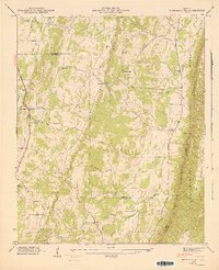
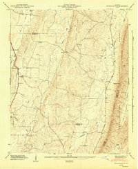
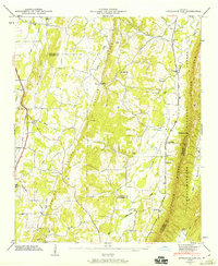
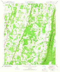
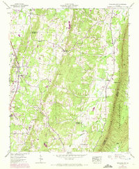
1946 Map of Nickajack Gap
USGS Topo · Published 1947About this map
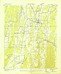
Taylor Ridge and Peavine Ridge dominate this North Georgia landscape, defining the parallel valleys of the Ridge and Valley province. In the mid-1940s, the rural community of Rock Spring served as a key junction where the Central of Georgia railway met the William Howard Taft Highway. The map reveals a deeply rooted settlement pattern of small farms and country churches, such as Center Grove Ch and New Hope Ch, positioned along the fertile stretches of Peavine Valley and Station Valley. To the east, the terrain climbs sharply into the Chattahoochee National Forest near Nickajack Gap, where fewer roads penetrate the dense woods. This detailed survey by the Tennessee Valley Authority and USGS captures a specific moment of rural connectivity before modern interstate development, highlighting small hubs like Wood Station and numerous family landmarks including Yates Cem and Mc Intyre Cem.
Find a feature on this map
45 named features on this map. Tap any name to fly to it.
Don’t see what you’re looking for? This feature index may not catch every label — zoom into the map to look around manually.
Map Details
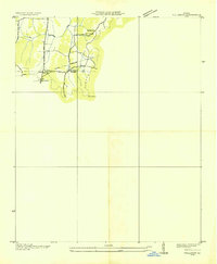
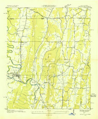
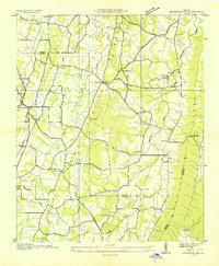
Editions of this 1946 Nickajack Gap Map
5 editions found
Other maps of this area

1886 · Ringgold
USGS Topo · 1:125,000

1892 · Ringgold
USGS Topo · 1:125,000

1935 · Catlett
USGS Topo · 1:24,000

1935 · East Ridge
USGS Topo · 1:24,000
1935 · Villanow
USGS Topo · 1:24,000
1935 · Ringgold
USGS Topo · 1:24,000
1935 · Nickajack Gap
USGS Topo · 1:24,000
1935 · Tunnel Hill
USGS Topo · 1:24,000

1936 · Kensington
USGS Topo · 1:24,000

1936 · Estelle
USGS Topo · 1:24,000