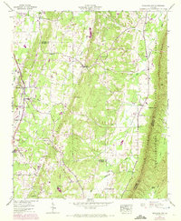
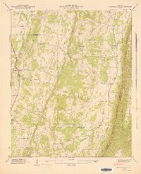
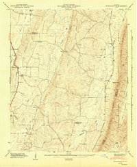
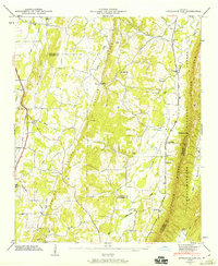
1946 Map of Nickajack Gap
USGS Topo · Published 1972About this map
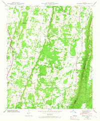
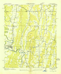
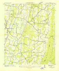
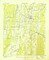
Peavine Ridge and Taylor Ridge define the vertical grain of this landscape, framing a series of agricultural valleys during the mid-century. The Central of Georgia railroad runs along the western edge, serving the community of Rock Spring where the Rock Spring Sch and several local churches formed the social heart of the district. To the east, the terrain becomes more dramatic as it rises toward Nickajack Gap, where the Chattahoochee National Forest boundary meets the multi-county line of Catoosa, Walker, and Whitfield.
Find a feature on this map
40 named features on this map. Tap any name to fly to it.
Don’t see what you’re looking for? This feature index may not catch every label — zoom into the map to look around manually.
Map Details
Editions of this 1946 Nickajack Gap Map
5 editions found
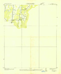
Other maps of this area

1886 · Ringgold
USGS Topo · 1:125,000

1892 · Ringgold
USGS Topo · 1:125,000

1935 · Catlett
USGS Topo · 1:24,000

1935 · East Ridge
USGS Topo · 1:24,000
1935 · Villanow
USGS Topo · 1:24,000
1935 · Ringgold
USGS Topo · 1:24,000
1935 · Nickajack Gap
USGS Topo · 1:24,000
1935 · Tunnel Hill
USGS Topo · 1:24,000

1936 · Kensington
USGS Topo · 1:24,000

1936 · Estelle
USGS Topo · 1:24,000