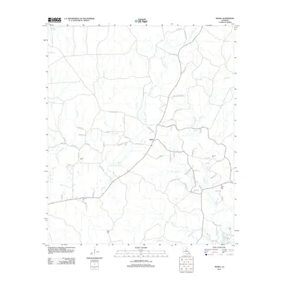
2012 Map of Nickel
USGS Topo · Published 2012About this map
Nickel sits at a focal point of rural crossroads and industrial access in this LaSalle Parish landscape. The terrain is defined by a dense network of drainage systems, most notably the winding course of Bayou Funny Louis and its numerous tributaries like Salty Cr and Buck Cr. The southern portion of the map is punctuated by Bald Hill, while the surrounding lowlands are marked by several family and community burial grounds, including Antioch Cem and Wilbanks Cem.
Find a feature on this map
70 named features on this map. Tap any name to fly to it.
Don’t see what you’re looking for? This feature index may not catch every label — zoom into the map to look around manually.
Map Details
Editions of this 2012 Nickel Map
This is the sole edition of this map. No revisions or reprints were ever made.
Other maps of this area

1941 · Manifest
USGS Topo · 1:62,500

1941 · Jena
USGS Topo · 1:62,500

1941 · Harrisonburg
USGS Topo · 1:62,500

1953 · Alexandria
USGS Topo · 1:250,000

1953 · Natchez
USGS Topo · 1:250,000

1955 · Alexandria
USGS Topo · 1:250,000

1955 · Olla
USGS Topo · 1:62,500

1956 · Natchez
USGS Topo · 1:250,000

1958 · Jena
USGS Topo · 1:62,500

1959 · Natchez
USGS Topo · 1:250,000