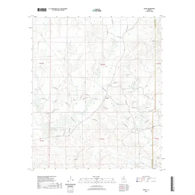
2020 Map of Nickel
USGS Topo · Published 2020About this map
Nickel sits at the center of this rural landscape in LaSalle and Catahoula Parishes, where the terrain transitions from the low-lying wetlands of Bayou Funny Louis to the prominent elevations of the Chalk Hills. This 2020 map documents a region defined by its watercourses and small family settlements, with numerous cemeteries such as Antioch Cemetery and Fisher Cemetery providing vital records for local genealogists. The network of winding backroads, including Funny Louis Loop and Sunshine Bridge Road, connects isolated homesteads and natural features like Aimwell Spring. To the south, Bald Hill rises above the timbered creek bottoms of Salem Creek and Hodges Branch, illustrating the diverse topography of the North Louisiana pinewoods and bottomland hardwoods before the landscape reaches the parish line.
Find a feature on this map
67 named features on this map. Tap any name to fly to it.
Don’t see what you’re looking for? This feature index may not catch every label — zoom into the map to look around manually.
Map Details
Editions of this 2020 Nickel Map
This is the sole edition of this map. No revisions or reprints were ever made.
Other maps of this area

1941 · Manifest
USGS Topo · 1:62,500

1941 · Jena
USGS Topo · 1:62,500

1941 · Harrisonburg
USGS Topo · 1:62,500

1953 · Alexandria
USGS Topo · 1:250,000

1953 · Natchez
USGS Topo · 1:250,000

1955 · Alexandria
USGS Topo · 1:250,000

1955 · Olla
USGS Topo · 1:62,500

1956 · Natchez
USGS Topo · 1:250,000

1958 · Jena
USGS Topo · 1:62,500

1959 · Natchez
USGS Topo · 1:250,000