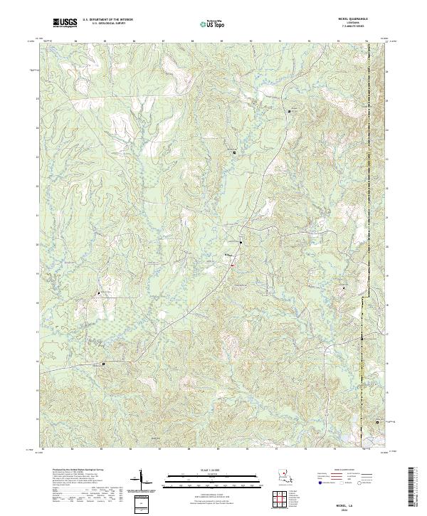
2024 Map of Nickel
USGS Topo · Published 2024About this map
Nickel sits at the heart of this central Louisiana landscape, where the rural topography is defined by the winding course of Bayou Funny Louis and its many tributaries. The area is notable for its high concentration of family and community burial grounds, including Hill Cem, Brittain Cem, and Wilbanks Cem, which serve as vital markers for local genealogical research. The terrain transitions from the low-lying wetlands of Salty Creek and Salem Creek to the more prominent elevations of the Chalk Hills in the northeast and Bald Hill to the south. This network of small roads and cutoffs, such as Andrews Cutoff and Funny Louis Loop, illustrates a settlement pattern deeply connected to the natural drainage of the parish, where small homesteads and churches like Mount Zion and Antioch are tucked between the creek bends.
Find a feature on this map
73 named features on this map. Tap any name to fly to it.
Don’t see what you’re looking for? This feature index may not catch every label — zoom into the map to look around manually.
Map Details
Editions of this 2024 Nickel Map
This is the sole edition of this map. No revisions or reprints were ever made.
Other maps of this area

1941 · Manifest
USGS Topo · 1:62,500

1941 · Jena
USGS Topo · 1:62,500

1941 · Harrisonburg
USGS Topo · 1:62,500

1953 · Alexandria
USGS Topo · 1:250,000

1953 · Natchez
USGS Topo · 1:250,000

1955 · Alexandria
USGS Topo · 1:250,000

1955 · Olla
USGS Topo · 1:62,500

1956 · Natchez
USGS Topo · 1:250,000

1958 · Jena
USGS Topo · 1:62,500

1959 · Natchez
USGS Topo · 1:250,000