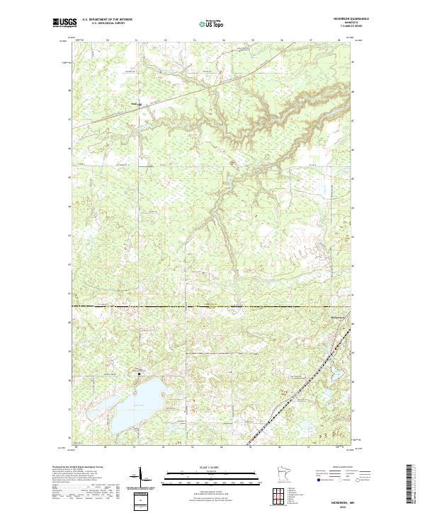
2022 Map of Nickerson
USGS Topo · Published 2022About this map
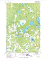
Nemadji and Nickerson sit amidst a complex network of waterways and wetlands near the border of Carlton Co and Pine Co. The landscape is defined by the winding course of the Nemadji River and its numerous tributaries, including Nemadji Cr, Hunters Cr, and Clear Cr. Large bodies of water like Oak Lake, Wolf Lake, and Maheu Lake dominate the southern portion of the sheet. For genealogists and local historians, the Oak Lake Community Cem near the lake's northern shore provides a specific point of interest for family research. Transportation history is well-represented by the Soo Line South: Carlton Trl and the Soo Line TRL, which cut through the northern half of the region, tracing the path of former rail operations through this timber and wetland terrain.
Find a feature on this map
50 named features on this map. Tap any name to fly to it.
Don’t see what you’re looking for? This feature index may not catch every label — zoom into the map to look around manually.
Map Details
Editions of this 2022 Nickerson Map
This is the sole edition of this map. No revisions or reprints were ever made.
Historical Maps of Nickerson Township Through Time
22 maps found
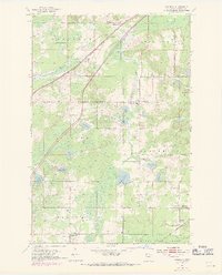
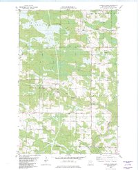
1954 Atkinson
Carlton County, MN
1954 Frogner
Carlton County, MN
1954 Iverson
Carlton County, MN
1954 Sawyer
Carlton County, MN

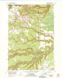
1981 Hanging Horn Lake
Carlton County, MN

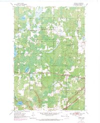
1981 Nickerson
Carlton County, MN
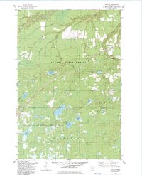
1982 Cromwell East
Carlton County, MN
1982 Cromwell SE
Carlton County, MN
1982 Cromwell West
Carlton County, MN
1982 Heikkila Creek
Carlton County, MN
1983 Holyoke
Carlton County, MN
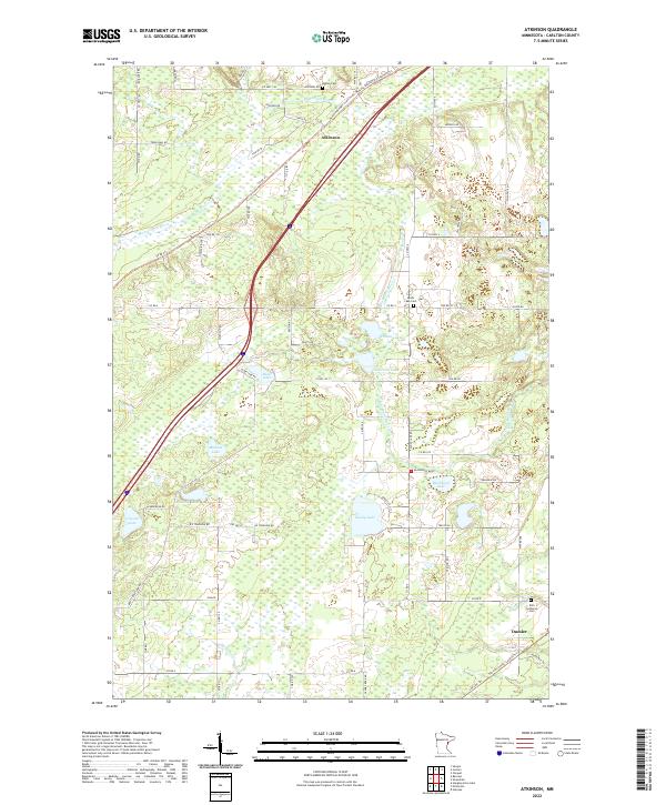
2022 Atkinson
Carlton County, MN
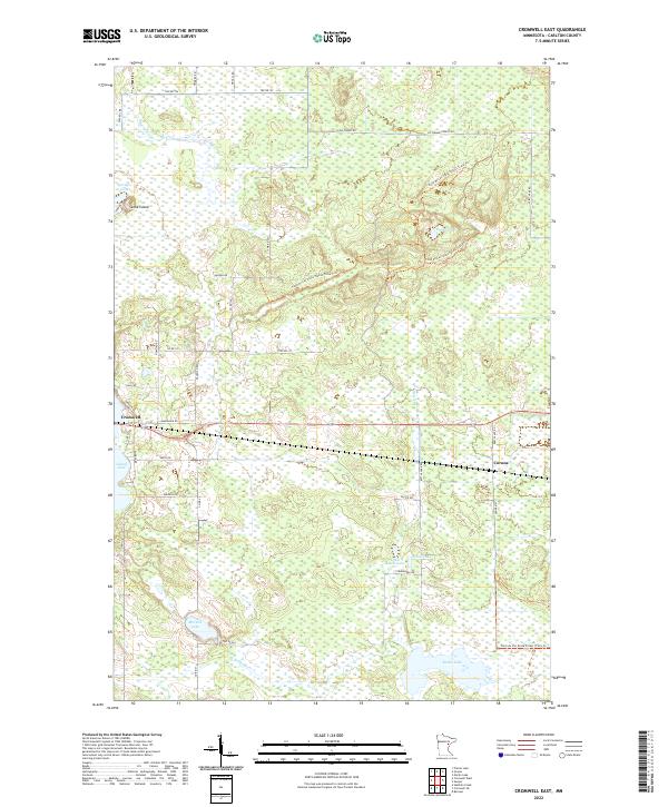
2022 Cromwell East
Carlton County, MN
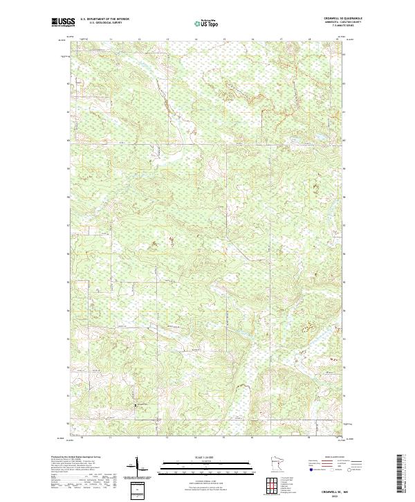
2022 Cromwell SE
Carlton County, MN
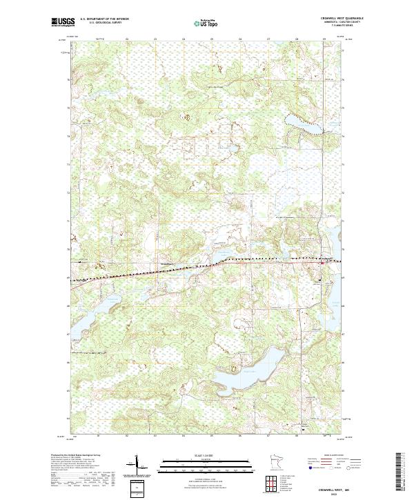
2022 Cromwell West
Carlton County, MN
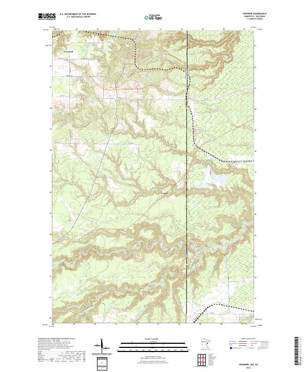
2022 Frogner
Carlton County, MN
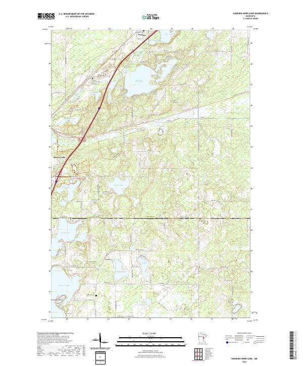
2022 Hanging Horn Lake
Carlton County, MN
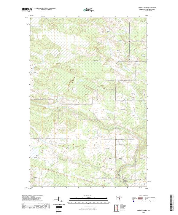
2022 Heikkila Creek
Carlton County, MN
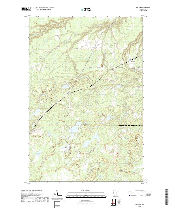
2022 Holyoke
Carlton County, MN
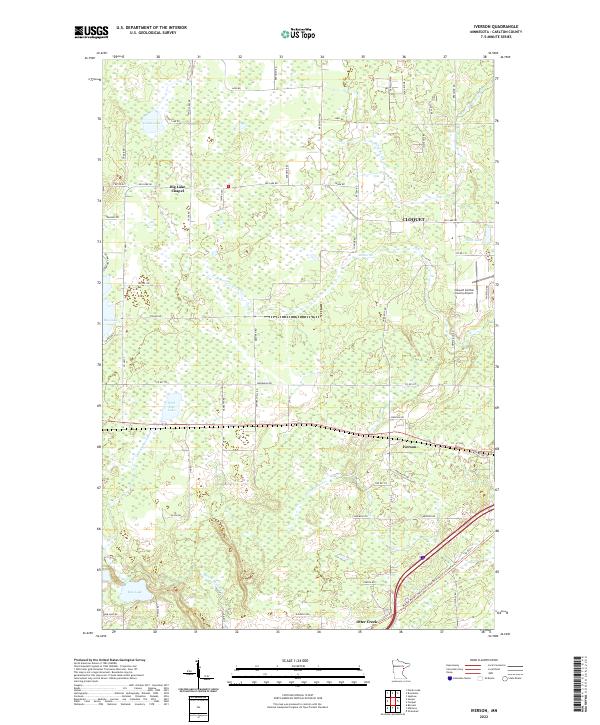
2022 Iverson
Carlton County, MN
2022 Nickerson
Carlton County, MN
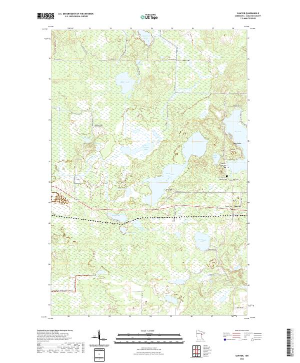
2022 Sawyer
Carlton County, MN