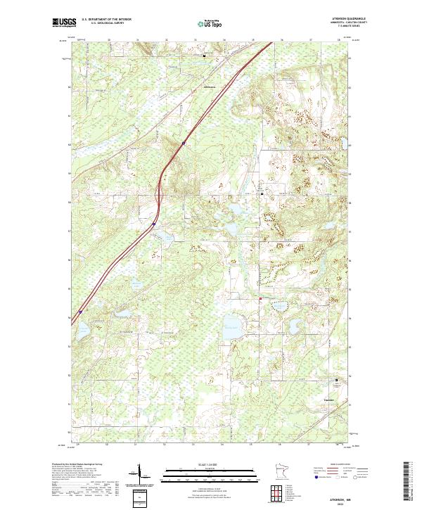
2022 Map of Atkinson
USGS Topo · Published 2022About this map
The Blackhoof River and its numerous tributaries dominate the landscape of Carlton County in this modern survey. The small settlement of Atkinson serves as a central point along the Willard Munger State Trail, tracing the corridor of the former Hinkley-Duluth Fire Segment. The topography is defined by its extensive wetlands and a dense network of water bodies, including Sandy Lake, Blackhoof Lake, and Hizer Lake.
Find a feature on this map
76 named features on this map. Tap any name to fly to it.
Don’t see what you’re looking for? This feature index may not catch every label — zoom into the map to look around manually.
Map Details
Editions of this 2022 Atkinson Map
This is the sole edition of this map. No revisions or reprints were ever made.
Other maps of this area

1949 · Holyoke
USGS Topo · 1:48,000

1953 · Duluth
USGS Topo · 1:250,000

1954 · Cloquet
USGS Topo · 1:24,000

1954 · Wrenshall
USGS Topo · 1:24,000

1954 · Atkinson
USGS Topo · 1:24,000

1954 · Iverson
USGS Topo · 1:24,000

1954 · Sawyer
USGS Topo · 1:24,000

1956 · Barnum
USGS Topo · 1:62,500

1958 · Duluth
USGS Topo · 1:250,000

1962 · Holyoke
USGS Topo · 1:62,500