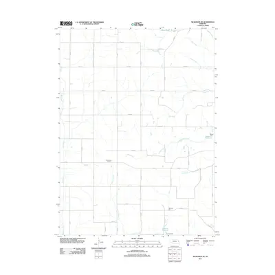
2011 Map of Nickerson NE
USGS Topo · Published 2011About this map
New England Cemetery stands as a quiet landmark within this expansive grid of agricultural roads in Washington County. The landscape is defined by its drainages, where the meandering course of Bell Creek and the southern flow of New York Creek cut through the sections. This rural layout, typical of the Nebraska plains, is interrupted by essential water management structures like Skinner Dam, which holds the waters of the Skinner Reservoir.
Find a feature on this map
43 named features on this map. Tap any name to fly to it.
Don’t see what you’re looking for? This feature index may not catch every label — zoom into the map to look around manually.
Map Details
Editions of this 2011 Nickerson NE Map
This is the sole edition of this map. No revisions or reprints were ever made.
Other maps of this area

1955 · Fremont
USGS Topo · 1:250,000

1957 · Fremont
USGS Topo · 1:250,000

1958 · Fremont
USGS Topo · 1:250,000

1966 · Oakland
USGS Topo · 1:24,000

1966 · Nickerson
USGS Topo · 1:24,000

1966 · Nickerson NW
USGS Topo · 1:24,000
1969 · Orum
USGS Topo · 1:24,000

1970 · Oakland SE
USGS Topo · 1:24,000

1970 · Herman
USGS Topo · 1:24,000
1970 · Nickerson NE
USGS Topo · 1:24,000