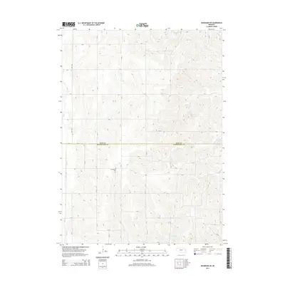
2014 Map of Nickerson NE
USGS Topo · Published 2014About this map
The Burt and Washington County line divides this agricultural landscape, where a dense grid of rural routes like Road 3855 and CR-Ef connects disparate farmsteads and fields. The terrain is defined by a complex drainage system of small creeks, including Bell Creek and New York Creek, which feed into several local water management structures. Notable water bodies such as Summit Lake, Behrendt Reservoir, and Cameron Reservoir suggest a landscape heavily modified for irrigation or conservation.
Find a feature on this map
45 named features on this map. Tap any name to fly to it.
Don’t see what you’re looking for? This feature index may not catch every label — zoom into the map to look around manually.
Map Details
Editions of this 2014 Nickerson NE Map
This is the sole edition of this map. No revisions or reprints were ever made.
Other maps of this area

1955 · Fremont
USGS Topo · 1:250,000

1957 · Fremont
USGS Topo · 1:250,000

1958 · Fremont
USGS Topo · 1:250,000

1966 · Oakland
USGS Topo · 1:24,000

1966 · Nickerson
USGS Topo · 1:24,000

1966 · Nickerson NW
USGS Topo · 1:24,000
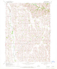
1969 · Orum
USGS Topo · 1:24,000

1970 · Oakland SE
USGS Topo · 1:24,000

1970 · Herman
USGS Topo · 1:24,000
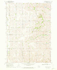
1970 · Nickerson NE
USGS Topo · 1:24,000