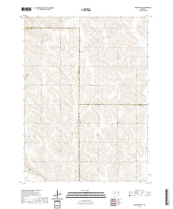
2021 Map of Nickerson NW
USGS Topo · Published 2021About this map
Rural cemeteries and meandering prairie creeks define the landscape where Dodge, Burt, and Washington Counties meet. This agricultural region is anchored by family and community history, evidenced by a high density of burial grounds including West Admah Cem and East Admah Cem, along with Swaburg Baptist Cem. These sites, often positioned on higher ground above the rolling drainage basins, represent the early Scandinavian and German settlement patterns of this corner of Nebraska.
Find a feature on this map
49 named features on this map. Tap any name to fly to it.
Don’t see what you’re looking for? This feature index may not catch every label — zoom into the map to look around manually.
Map Details
Editions of this 2021 Nickerson NW Map
This is the sole edition of this map. No revisions or reprints were ever made.
Other maps of this area

1955 · Fremont
USGS Topo · 1:250,000

1957 · Fremont
USGS Topo · 1:250,000

1958 · Fremont
USGS Topo · 1:250,000

1966 · Oakland
USGS Topo · 1:24,000

1966 · West Point SE
USGS Topo · 1:24,000

1966 · Uehling
USGS Topo · 1:24,000

1966 · Nickerson
USGS Topo · 1:24,000

1966 · Hooper
USGS Topo · 1:24,000

1966 · Nickerson NW
USGS Topo · 1:24,000
1969 · Orum
USGS Topo · 1:24,000