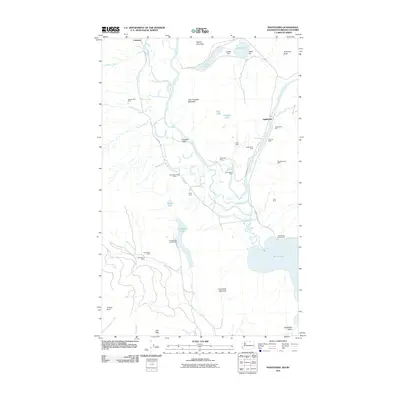
2011 Map of Nighthawk
USGS Topo · Published 2011About this map
Nighthawk stands as a primary settlement in this northern Okanogan County landscape, where the Similkameen River flows south across the international border. The area is defined by a dense concentration of hard-rock mining history, with numerous operations like the Nighthawk Mine, Golden Zone Mine, and Ruby Mine dotting the steep terrain surrounding the Chopaka Valley. This 2011 survey captures a landscape of extreme vertical relief, rising from the waters of Palmer Lake and Chopaka Lake to the heights of Grandview Mountain and Little Chopaka Mountain. The presence of the Beef Pasture Cabin and various campgrounds near the water suggests the region's continued importance for recreation and seasonal land use. Geologic interest is further evidenced by unique alkaline features such as Hot Lake and The Salt Lakes, which sit between the river valley and the foothills of Barber Mountain.
Find a feature on this map
46 named features on this map. Tap any name to fly to it.
Don’t see what you’re looking for? This feature index may not catch every label — zoom into the map to look around manually.
Map Details
Editions of this 2011 Nighthawk Map
This is the sole edition of this map. No revisions or reprints were ever made.
Other maps of this area

1906 · Chopaka
USGS Topo · 1:125,000

1954 · Okanogan
USGS Topo · 1:250,000

1956 · Loomis
USGS Topo · 1:62,500

1956 · Horseshoe Basin
USGS Topo · 1:62,500

1958 · Okanogan
USGS Topo · 1:250,000
1981 · Hurley Peak
USGS Topo · 1:24,000
1981 · Nighthawk
USGS Topo · 1:24,000
1981 · Duncan Ridge
USGS Topo · 1:24,000
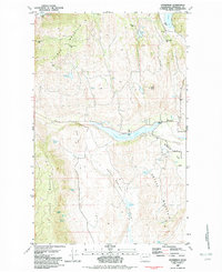
1982 · Enterprise
USGS Topo · 1:24,000
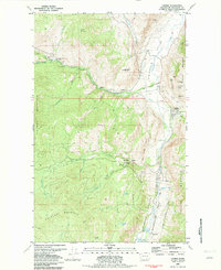
1982 · Loomis
USGS Topo · 1:24,000