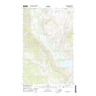
2017 Map of Nighthawk
USGS Topo · Published 2017About this map
The Similkameen River carves a deep path through the northern reaches of Okanogan County, defining a landscape where narrow valleys meet high peaks. Near the international border, the settlement of Nighthawk sits along the Loomis Oroville Rd, serving as a gateway to the steep terrain of American Butte and Little Chopaka Mtn. The area's diverse hydrology is evident in the transition from the flowing waters of Champneys Slough Stream and Edwards Slough to the still basins of Chopaka Lake and the northern tip of Palmer Lake.
Find a feature on this map
35 named features on this map. Tap any name to fly to it.
Don’t see what you’re looking for? This feature index may not catch every label — zoom into the map to look around manually.
Map Details
Editions of this 2017 Nighthawk Map
This is the sole edition of this map. No revisions or reprints were ever made.
Other maps of this area

1906 · Chopaka
USGS Topo · 1:125,000

1954 · Okanogan
USGS Topo · 1:250,000

1956 · Loomis
USGS Topo · 1:62,500

1956 · Horseshoe Basin
USGS Topo · 1:62,500

1958 · Okanogan
USGS Topo · 1:250,000
1981 · Hurley Peak
USGS Topo · 1:24,000
1981 · Nighthawk
USGS Topo · 1:24,000
1981 · Duncan Ridge
USGS Topo · 1:24,000
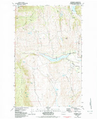
1982 · Enterprise
USGS Topo · 1:24,000
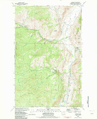
1982 · Loomis
USGS Topo · 1:24,000