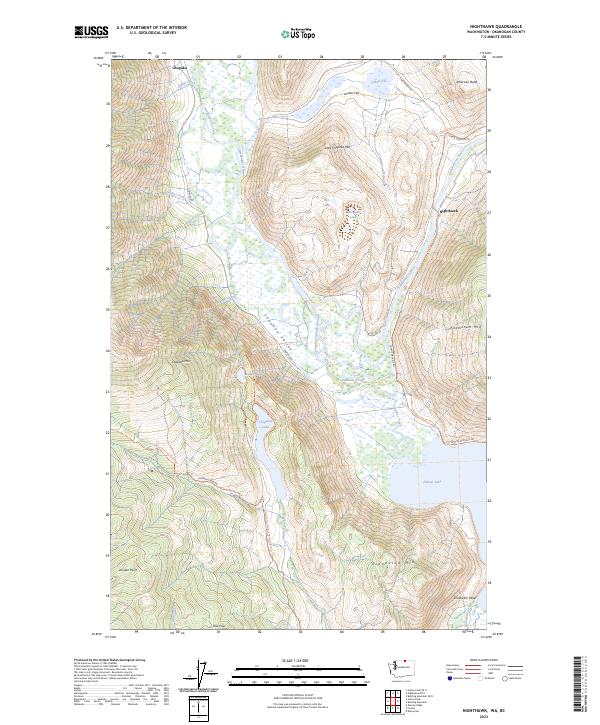
2023 Map of Nighthawk
USGS Topo · Published 2023About this map
Nighthawk and Chopaka sit in a high-elevation landscape characterized by dramatic vertical relief and a complex system of internal drainage. The Similkameen River cuts through the eastern edge of the quadrangle, while the interior is marked by the Chopaka Valley and a series of unique water bodies, including the mineral-rich Hot Lake and The Salt Lakes. This region, where the Sinlahekin Valley meets the Canadian border, shows a geography shaped by both water and height.
Find a feature on this map
36 named features on this map. Tap any name to fly to it.
Don’t see what you’re looking for? This feature index may not catch every label — zoom into the map to look around manually.
Map Details
Editions of this 2023 Nighthawk Map
This is the sole edition of this map. No revisions or reprints were ever made.
Other maps of this area

1906 · Chopaka
USGS Topo · 1:125,000

1954 · Okanogan
USGS Topo · 1:250,000

1956 · Loomis
USGS Topo · 1:62,500

1956 · Horseshoe Basin
USGS Topo · 1:62,500

1958 · Okanogan
USGS Topo · 1:250,000
1981 · Hurley Peak
USGS Topo · 1:24,000
1981 · Nighthawk
USGS Topo · 1:24,000
1981 · Duncan Ridge
USGS Topo · 1:24,000
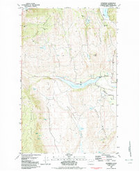
1982 · Enterprise
USGS Topo · 1:24,000
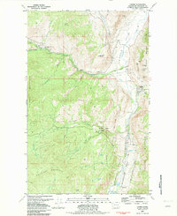
1982 · Loomis
USGS Topo · 1:24,000