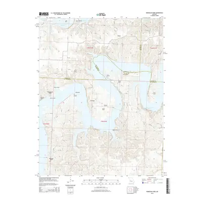
2014 Map of Ninnescah Park
USGS Topo · Published 2014About this map
Finey and the surrounding shoreline of the Harry S Truman Reservoir define this area of Missouri in the early 21st century. The map centers on the winding, irregular branches of the reservoir, where the terrain transitions from upland ridges to the submerged valleys of the Osage River system. This specific edition provides an essential look at the modern shoreline and public lands, including Ninnescah Park, before subsequent landscape changes or infrastructure developments. The map is particularly useful for understanding the current spatial relationship between small rural settlements and the vast water resources managed by the U.S. Army Corps of Engineers.
Find a feature on this map
2 named features on this map. Tap any name to fly to it.
Don’t see what you’re looking for? This feature index may not catch every label — zoom into the map to look around manually.
Map Details
Editions of this 2014 Ninnescah Park Map
This is the sole edition of this map. No revisions or reprints were ever made.
Other maps of this area

1887 · Clinton
USGS Topo · 1:125,000

1887 · Warsaw
USGS Topo · 1:125,000

1894 · Warsaw
USGS Topo · 1:125,000

1894 · Clinton
USGS Topo · 1:125,000

1936 · Shawnee Bend
USGS Topo · 1:24,000

1939 · Osceola
USGS Topo · 1:24,000

1940 · Osceola
USGS Topo · 1:24,000

1940 · Iconium
USGS Topo · 1:24,000

1941 · Valhalla
USGS Topo · 1:24,000

1941 · Lowry City
USGS Topo · 1:24,000