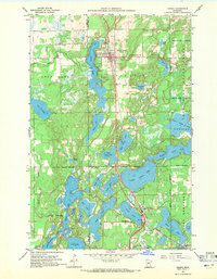
1959 Map of Nisswa
USGS Topo · Published 1971About this map
Glacial lakes and wetlands define this portion of Crow Wing County, where the Northern Pacific railroad corridor serves as the primary axis for development. The settlements of Pequot Lakes and Nisswa are situated along this rail line, surrounded by a dense network of water bodies including Sibley Lake, Mayo Lake, and the expansive Lower Cullen Lake. To the east, the Pelican Lakes State Forest protects the wooded terrain, while the western edge is marked by the meandering Mayo Creek and Loon Lake.
Find a feature on this map
53 named features on this map. Tap any name to fly to it.
Don’t see what you’re looking for? This feature index may not catch every label — zoom into the map to look around manually.
Map Details
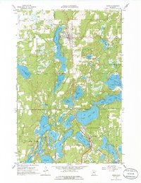
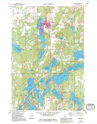
Editions of this 1959 Nisswa Map
4 editions found
Other maps of this area

1915 · Brainerd
USGS Topo · 1:62,500

1916 · Pillager
USGS Topo · 1:62,500

1918 · Brainerd
USGS Topo · 1:62,500

1919 · Pillager
USGS Topo · 1:62,500

1953 · Brainerd
USGS Topo · 1:250,000

1957 · Brainerd
USGS Topo · 1:250,000

1958 · Brainerd
USGS Topo · 1:250,000

1959 · Pelican Lake
USGS Topo · 1:24,000

1959 · Nisswa
USGS Topo · 1:24,000

1959 · Lower Whitefish Lake
USGS Topo · 1:24,000