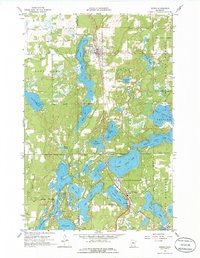
1959 Map of Nisswa
USGS Topo · Published 1986About this map
Pequot Lakes and Nisswa anchor this 1950s lake-country landscape, where the Northern Pacific railroad cuts a north-south line through the heart of the Brainerd Lakes region. The map reveals a dense network of water bodies, including the massive Pelican Lakes system and the intricate chain of Upper Cullen Lake, Middle Cullen Lake, and Lower Cullen Lake. Local civic life is marked by landmarks such as the Pequot Lookout Tower, the Village Hall, and the Portview Sch near the shores of Lake Margaret.
Find a feature on this map
54 named features on this map. Tap any name to fly to it.
Don’t see what you’re looking for? This feature index may not catch every label — zoom into the map to look around manually.
Map Details
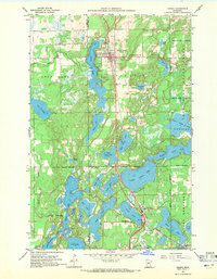
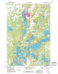
Editions of this 1959 Nisswa Map
4 editions found
Other maps of this area

1915 · Brainerd
USGS Topo · 1:62,500

1916 · Pillager
USGS Topo · 1:62,500

1918 · Brainerd
USGS Topo · 1:62,500

1919 · Pillager
USGS Topo · 1:62,500

1953 · Brainerd
USGS Topo · 1:250,000

1957 · Brainerd
USGS Topo · 1:250,000

1958 · Brainerd
USGS Topo · 1:250,000

1959 · Pelican Lake
USGS Topo · 1:24,000

1959 · Nisswa
USGS Topo · 1:24,000

1959 · Lower Whitefish Lake
USGS Topo · 1:24,000