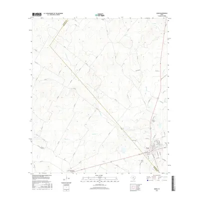
2016 Map of Nixon
USGS Topo · Published 2016About this map
Nixon sits at the intersection of several significant Texas routes, serving as a hub near the Gonzales and Wilson County line. The landscape is defined by a dense network of watercourses, including the Clear Fork Cr and Tally Br, which carve through the terrain and influence the placement of rural roads. Smaller settlements like Pandora appear along the southwestern edge, connected by farm roads and county lines. Local history is anchored by several distinct burial grounds scattered across the countryside, such as the Dewville Cem in the north and the White Rancho Cem near the town center. The pattern of development here reflects the agricultural roots of the region, with numerous county roads providing access to remote tracts of land while the town of Nixon provides a more structured street grid and concentrated resources for the surrounding rural population.
Find a feature on this map
74 named features on this map. Tap any name to fly to it.
Don’t see what you’re looking for? This feature index may not catch every label — zoom into the map to look around manually.
Map Details
Editions of this 2016 Nixon Map
This is the sole edition of this map. No revisions or reprints were ever made.
Other maps of this area

1920 · Smiley
USGS Topo · 1:125,000

1942 · Dewville
USGS Topo · 1:62,500

1953 · Seguin
USGS Topo · 1:250,000

1956 · Dewville
USGS Topo · 1:62,500

1958 · Seguin
USGS Topo · 1:250,000

1961 · Nixon
USGS Topo · 1:24,000
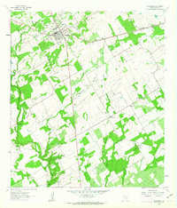
1961 · Stockdale
USGS Topo · 1:24,000
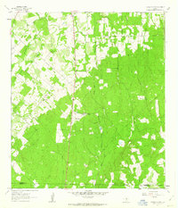
1961 · Thomas Springs
USGS Topo · 1:24,000
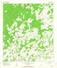
1961 · Alum
USGS Topo · 1:24,000

1961 · Gillett
USGS Topo · 1:24,000