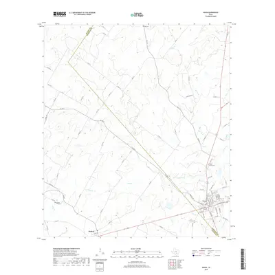
2019 Map of Nixon
USGS Topo · Published 2019About this map
Nixon serves as the primary hub of this South Texas landscape, situated right at the junction where Gonzales and Wilson counties meet. The settlement is defined by a dense grid of residential streets and local landmarks, including the historic Nixon Cem. To the west, the smaller community of Pandora sits along the roadway, marking a secondary point of settlement in an area otherwise dominated by cattle ranching and rural acreage.
Find a feature on this map
74 named features on this map. Tap any name to fly to it.
Don’t see what you’re looking for? This feature index may not catch every label — zoom into the map to look around manually.
Map Details
Editions of this 2019 Nixon Map
This is the sole edition of this map. No revisions or reprints were ever made.
Other maps of this area

1920 · Smiley
USGS Topo · 1:125,000

1942 · Dewville
USGS Topo · 1:62,500

1953 · Seguin
USGS Topo · 1:250,000

1956 · Dewville
USGS Topo · 1:62,500

1958 · Seguin
USGS Topo · 1:250,000

1961 · Nixon
USGS Topo · 1:24,000
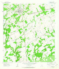
1961 · Stockdale
USGS Topo · 1:24,000
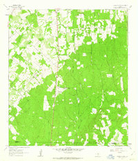
1961 · Thomas Springs
USGS Topo · 1:24,000
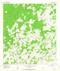
1961 · Alum
USGS Topo · 1:24,000

1961 · Gillett
USGS Topo · 1:24,000