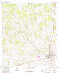
2022 Map of Nixon
USGS Topo · Published 2022About this map
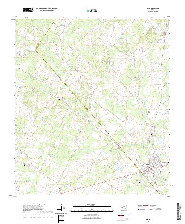
Nixon serves as the primary hub on this South Texas landscape, where the boundary between Wilson Co and Gonzales Co carves through the undulating countryside. The area is defined by a dense concentration of community burial grounds, reflecting the diverse heritage of the region's settlers. From the Nixon Cem and Latin American Cem near the town center to more rural sites like Harris Chapel Greater Rising, Star Cem, and Rancho Cem, these locations provide invaluable touchstones for genealogical research.
Find a feature on this map
80 named features on this map. Tap any name to fly to it.
Don’t see what you’re looking for? This feature index may not catch every label — zoom into the map to look around manually.
Map Details
Editions of this 2022 Nixon Map
This is the sole edition of this map. No revisions or reprints were ever made.