
1969 Map of No Heart Creek SE
USGS Topo · Published 1972About this map
Lake Oahe dominates this landscape along the border of Dewey and Sully counties, representing a period of significant hydrological change in South Dakota. Published in the early 1970s, the map documents the area during the development of the Missouri River Basin, where the rising waters of the reservoir reshaped the valley. The Cheyenne River Indian Reservation Boundary is marked along the Missouri River channel, tracing the historic limits of tribal lands as they met the water's edge. The terrain is defined by several prominent inlets, including Willow Creek Bay, Fairbanks Creek, and Splits Creek, which carve into the surrounding uplands. At an Elevation 1608, the map highlights the vast areas subject to controlled inundation, providing a clear record of the shoreline and land use patterns before the full impact of the basin's water management projects was realized.
Find a feature on this map
8 named features on this map. Tap any name to fly to it.
Don’t see what you’re looking for? This feature index may not catch every label — zoom into the map to look around manually.
Map Details
Editions of this 1969 No Heart Creek SE Map
This is the sole edition of this map. No revisions or reprints were ever made.
Other maps of this area

1954 · Pierre
USGS Topo · 1:250,000

1958 · Pierre
USGS Topo · 1:250,000

1965 · Artichoke Butte SW
USGS Topo · 1:24,000

1965 · Okobojo
USGS Topo · 1:24,000

1969 · Artichoke Butte NW
USGS Topo · 1:24,000

1969 · No Heart Creek SW
USGS Topo · 1:24,000

1973 · Iron Post Buttes
USGS Topo · 1:24,000
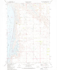
1973 · Mail Shack Creek
USGS Topo · 1:24,000
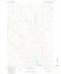
1981 · No Heart Creek NE
USGS Topo · 1:24,000
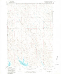
1981 · No Heart Creek
USGS Topo · 1:24,000