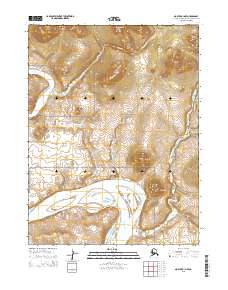
2015 Map of Noatak A-1 NW
USGS Topo · Published 2015About this map
The Noatak River meanders across the southern reach of this landscape, carving a wide path through the expansive wilderness of the Noatak National Preserve. The terrain is defined by distinct clusters of high ground, including the Igichuk Hills in the northeast and the Mulik Hills rising south of the river. Named landmarks like Omalik Hill and Alapak Hill provide essential orientation points within this remote Arctic environment. Tributaries such as Knapp Cr and Hugo Cr drain the uplands, illustrating the complex hydrography of the Northwest Arctic. This survey captures a moment of preservation, showing how the natural drainage systems and isolated peaks remained undisturbed within the federal protected area during the early twenty-first century.
Find a feature on this map
12 named features on this map. Tap any name to fly to it.
Don’t see what you’re looking for? This feature index may not catch every label — zoom into the map to look around manually.
Map Details
Editions of this 2015 Noatak A-1 NW Map
This is the sole edition of this map. No revisions or reprints were ever made.
Other maps of this area

1951 · Noatak
USGS Topo · 1:250,000

1955 · Noatak
USGS Topo · 1:250,000

1955 · Noatak B-2
USGS Topo · 1:63,360
1955 · Noatak A-1
USGS Topo · 1:63,360
1955 · Noatak A-2
USGS Topo · 1:63,360
1955 · Noatak B-1
USGS Topo · 1:63,360

1964 · Noatak
USGS Topo · 1:250,000
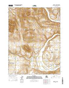
2015 · Noatak A-2 NE
USGS Topo · 1:25,000
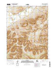
2015 · Noatak B-1 SW
USGS Topo · 1:25,000
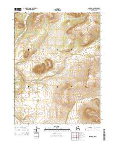
2015 · Noatak A-1 NE
USGS Topo · 1:25,000