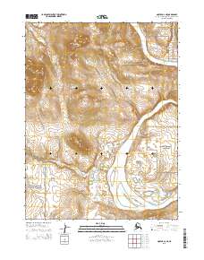
2015 Map of Noatak A-2 NE
USGS Topo · Published 2015About this map
Lower Noatak Canyon marks the dramatic passage of the Noatak River as it winds through this Arctic landscape within the Noatak National Preserve. The terrain is defined by the high elevations of the Igichuk Hills to the west and the prominent heights of Avingoriak Peak and Mamelak Mtn south of the river. This remote section of the Northwest Arctic Borough demonstrates the intersection of protected federal lands, with the Cape Krusenstern National Monument bordering the southwestern corner. Small tributaries like Mamelak Cr cut through the topography, feeding into the primary river system. The map reflects a landscape largely defined by its natural hydrology and relief, preserved for its ecological and geological significance in the early twenty-first century.
Find a feature on this map
12 named features on this map. Tap any name to fly to it.
Don’t see what you’re looking for? This feature index may not catch every label — zoom into the map to look around manually.
Map Details
Editions of this 2015 Noatak A-2 NE Map
This is the sole edition of this map. No revisions or reprints were ever made.
Other maps of this area

1951 · Noatak
USGS Topo · 1:250,000

1955 · Noatak
USGS Topo · 1:250,000

1955 · Noatak B-2
USGS Topo · 1:63,360
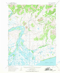
1955 · Noatak A-1
USGS Topo · 1:63,360
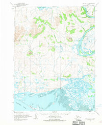
1955 · Noatak A-2
USGS Topo · 1:63,360
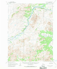
1955 · Noatak B-1
USGS Topo · 1:63,360

1964 · Noatak
USGS Topo · 1:250,000
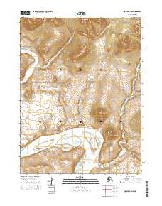
2015 · Noatak A-1 NW
USGS Topo · 1:25,000
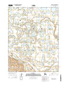
2015 · Noatak B-2 SW
USGS Topo · 1:25,000
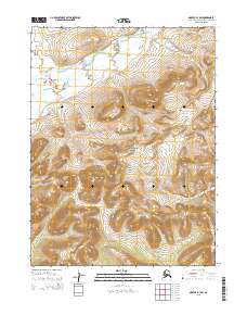
2015 · Noatak B-1 SW
USGS Topo · 1:25,000