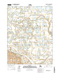
2015 Map of Noatak B-2 SW
USGS Topo · Published 2015About this map
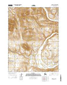
The Noatak River meanders through this portion of the Northwest Arctic, where it joins the complex water network of Sevisok Slough. This landscape is defined by its intricate hydrography, showing a dense concentration of unnamed ponds and small lakes that dominate the terrain between these two primary waterways. The 2015 survey provides a clear view of the dynamic river delta environment, where shifting channels and flood-prone lowlands dictate the character of the land. Mapping here serves as a modern record of the fluvial processes in this remote Alaska interior, capturing the exact paths of the Sevisok Slough and Noatak River as they appeared in the early 21st century.
Find a feature on this map
8 named features on this map. Tap any name to fly to it.
Don’t see what you’re looking for? This feature index may not catch every label — zoom into the map to look around manually.
Map Details
Editions of this 2015 Noatak B-2 SW Map
This is the sole edition of this map. No revisions or reprints were ever made.
Other maps of this area

1951 · Noatak
USGS Topo · 1:250,000

1952 · Noatak A-3
USGS Topo · 1:63,360

1955 · Noatak
USGS Topo · 1:250,000

1955 · Noatak B-3
USGS Topo · 1:63,360

1955 · Noatak B-2
USGS Topo · 1:63,360
1955 · Noatak A-2
USGS Topo · 1:63,360

1964 · Noatak
USGS Topo · 1:250,000
2015 · Noatak A-3 NE
USGS Topo · 1:25,000
2015 · Noatak B-3 SE
USGS Topo · 1:25,000
2015 · Noatak A-2 NE
USGS Topo · 1:25,000