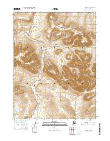
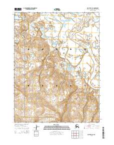
2015 Map of Noatak A-3 NE
USGS Topo · Published 2015About this map
Cape Krusenstern National Monument occupies a significant portion of this high-latitude landscape, representing a protected Arctic wilderness defined by its dramatic topographic relief and vital waterways. The Situkuyok River meanders through the central and western sections of the map, carving a path between the elevated peaks of the Igichuk Hills and Mt Noak. This survey documents the terrain just as the 21st-century environmental baseline was being established, capturing the complex drainage patterns of the river valley. The map is primarily an environmental and topographic record of a roadless region, where the intersection of tectonic forces and glacial history has shaped a distinctively unpopulated landscape within the Northwest Arctic Borough.
Find a feature on this map
8 named features on this map. Tap any name to fly to it.
Don’t see what you’re looking for? This feature index may not catch every label — zoom into the map to look around manually.
Map Details
Editions of this 2015 Noatak A-3 NE Map
This is the sole edition of this map. No revisions or reprints were ever made.
Other maps of this area

1951 · Noatak
USGS Topo · 1:250,000

1952 · Noatak A-3
USGS Topo · 1:63,360

1955 · Noatak
USGS Topo · 1:250,000

1955 · Noatak B-3
USGS Topo · 1:63,360

1955 · Noatak B-2
USGS Topo · 1:63,360
1955 · Noatak A-2
USGS Topo · 1:63,360

1964 · Noatak
USGS Topo · 1:250,000
2015 · Noatak A-3 NW
USGS Topo · 1:25,000
2015 · Noatak B-3 SW
USGS Topo · 1:25,000
2015 · Noatak B-3 SE
USGS Topo · 1:25,000