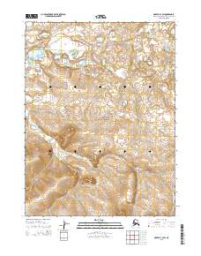
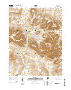
2015 Map of Noatak B-3 SW
USGS Topo · Published 2015About this map
The Igichuk Hills dominate the southern portion of this landscape within the Cape Krusenstern National Monument, where the terrain rises sharply from the surrounding coastal plains. The area is defined by the winding course of Kilikmak Cr, which flows through the eastern and central sections of the quadrangle. This 2015 survey by the U.S. Geological Survey reflects a largely unpopulated expanse of the Northwest Arctic Borough, where the intricate network of drainage and elevation contours illustrates a subarctic environment preserved for its archaeological and ecological significance. The lack of infrastructure highlights the wild character of these hills, which serve as a critical landmark for navigation and seasonal movement across the tundra.
Find a feature on this map
9 named features on this map. Tap any name to fly to it.
Don’t see what you’re looking for? This feature index may not catch every label — zoom into the map to look around manually.
Map Details
Editions of this 2015 Noatak B-3 SW Map
This is the sole edition of this map. No revisions or reprints were ever made.
Other maps of this area

1951 · Noatak
USGS Topo · 1:250,000

1952 · Noatak A-3
USGS Topo · 1:63,360
1952 · Noatak A-4
USGS Topo · 1:63,360

1955 · Noatak
USGS Topo · 1:250,000

1955 · Noatak B-3
USGS Topo · 1:63,360

1955 · Noatak B-4
USGS Topo · 1:63,360

1964 · Noatak
USGS Topo · 1:250,000
2014 · Noatak B-4 SE
USGS Topo · 1:25,000
2014 · Noatak B-4 NE
USGS Topo · 1:25,000
2015 · Noatak A-3 NE
USGS Topo · 1:25,000