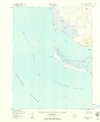
1952 Map of Noatak A-4
USGS Topo · Published 1959About this map
Cape Krusenstern stands as the prominent geographical hinge where the Chukchi Sea meets Kotzebue Sound along the northwestern coast of Alaska. This 1952 topographic study, based on aerial photography from the Army Map Service, documents a landscape of coastal lagoons and mountainous tundra during a period of minimal permanent infrastructure. The presence of the Tikizat (Site) and Talikoot (Alex's) suggest traditional coastal land use and subsistence patterns, further supported by the isolated Shelter Cabin and a remote Airstrip near the shoreline.
Find a feature on this map
18 named features on this map. Tap any name to fly to it.
Don’t see what you’re looking for? This feature index may not catch every label — zoom into the map to look around manually.
Map Details
Editions of this 1952 Noatak A-4 Map
2 editions found
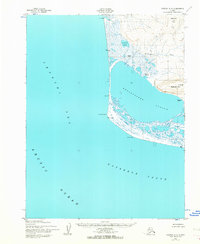
Other maps of this area

1951 · Noatak
USGS Topo · 1:250,000

1951 · Kotzebue
USGS Topo · 1:250,000

1952 · Noatak A-3
USGS Topo · 1:63,360

1955 · Noatak
USGS Topo · 1:250,000

1955 · Noatak B-3
USGS Topo · 1:63,360

1955 · Noatak B-4
USGS Topo · 1:63,360

1958 · Kotzebue
USGS Topo · 1:250,000

1964 · Noatak
USGS Topo · 1:250,000

1964 · Kotzebue
USGS Topo · 1:250,000
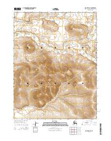
2014 · Noatak B-4 SE
USGS Topo · 1:25,000