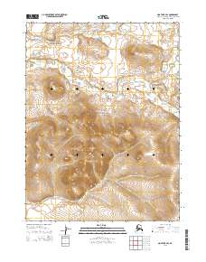
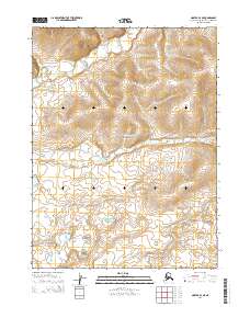
2014 Map of Noatak B-4 SE
USGS Topo · Published 2014About this map
Cape Krusenstern National Monument occupies a significant portion of this Arctic landscape, where the high ridges of the Igichuk Hills and Kakagrak Hills rise above the surrounding terrain. These elevations, including the prominent Naglatuk Hill, suggest a land shaped by ancient geological forces and long-standing importance for navigation and seasonal subsistence. The drainage of Kilikmak Cr snakes through the northern and eastern portions of the map, carving subtle valleys through the tundra. This 2014 survey captures a remote wilderness within the Northwest Arctic Borough, documented by the U.S. Geological Survey using modern digital elevation and hydrography data to preserve the precise contours of this protected federal land.
Find a feature on this map
11 named features on this map. Tap any name to fly to it.
Don’t see what you’re looking for? This feature index may not catch every label — zoom into the map to look around manually.
Map Details
Editions of this 2014 Noatak B-4 SE Map
This is the sole edition of this map. No revisions or reprints were ever made.
Other maps of this area

1951 · Noatak
USGS Topo · 1:250,000

1952 · Noatak A-3
USGS Topo · 1:63,360
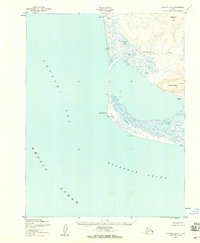
1952 · Noatak A-4
USGS Topo · 1:63,360

1955 · Noatak
USGS Topo · 1:250,000

1955 · Noatak B-3
USGS Topo · 1:63,360

1955 · Noatak B-4
USGS Topo · 1:63,360

1964 · Noatak
USGS Topo · 1:250,000
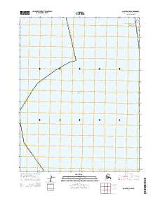
2014 · Noatak A-4 NW
USGS Topo · 1:25,000
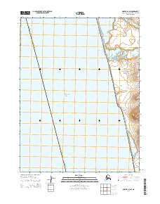
2014 · Noatak B-4 SW
USGS Topo · 1:25,000
2014 · Noatak B-4 NE
USGS Topo · 1:25,000