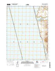
2014 Map of Noatak B-4 SW
USGS Topo · Published 2014About this map
The coastal frontier of the Cape Krusenstern National Monument dominates this remote Arctic shoreline where the land meets the Chukchi Sea. The landscape is defined by its dramatic transition from tidal waters to upland bluffs, notably at Ugrurak Bluff. This survey illustrates the intricate lagoon and inlet systems vital to the region's hydrology and ecology, including Kotlik Lagoon, Kiligmak Inlet, and Tasaychek Lagoon. The presence of Kilikmak Cr winding toward the coast underscores the drainage patterns of the Northwest Arctic Borough. The map provides a precise view of the monument's western boundary and the public land survey system divisions, such as t22n r23w, in an area devoid of modern settlements or roads, preserving the character of the Alaskan wilderness.
Find a feature on this map
12 named features on this map. Tap any name to fly to it.
Don’t see what you’re looking for? This feature index may not catch every label — zoom into the map to look around manually.
Map Details
Editions of this 2014 Noatak B-4 SW Map
This is the sole edition of this map. No revisions or reprints were ever made.
Other maps of this area

1951 · Noatak
USGS Topo · 1:250,000
1952 · Noatak A-4
USGS Topo · 1:63,360

1955 · Noatak
USGS Topo · 1:250,000

1955 · Noatak B-4
USGS Topo · 1:63,360

1964 · Noatak
USGS Topo · 1:250,000
2014 · Noatak B-4 SE
USGS Topo · 1:25,000
2014 · Noatak A-4 NW
USGS Topo · 1:25,000
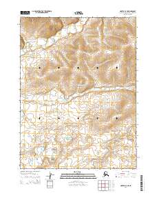
2014 · Noatak B-4 NE
USGS Topo · 1:25,000
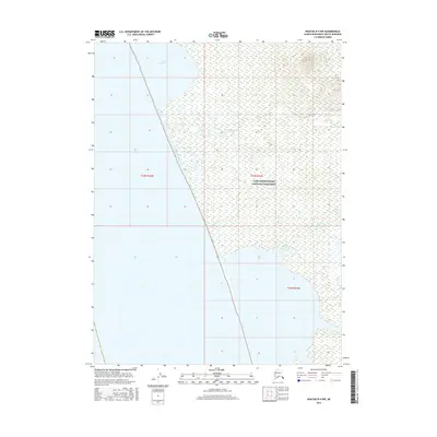
2016 · Noatak B-4 NW
USGS Topo · 1:25,000
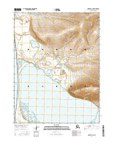
2016 · Noatak A-4 NE
USGS Topo · 1:25,000