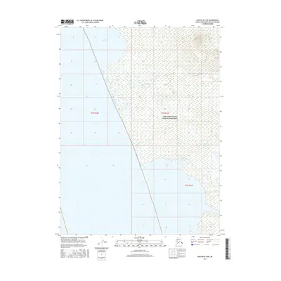
2016 Map of Noatak B-4 NW
USGS Topo · Published 2016About this map
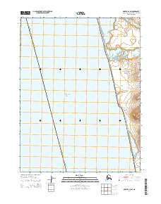
Cape Krusenstern National Monument occupies the vast majority of this landscape, preserving a coastal archaeological district on the Chukchi Sea. The map shows the intricate relationship between the shoreline and the brackish waters of Imik Lagoon, which dominates the northern coastal fringe. Inland, the terrain is defined by a network of drainage systems, including the winding course of Rabbit Creek and the southern reaches of Jade Creek. This 2016 survey captures the area's pristine hydrology and the subtle topography of the Arctic tundra. The lack of roads or permanent settlements highlights the protected status of the monument, where the landscape remains primarily shaped by natural cycles and seasonal water flow from the coastal hills to the sea.
Find a feature on this map
7 named features on this map. Tap any name to fly to it.
Don’t see what you’re looking for? This feature index may not catch every label — zoom into the map to look around manually.
Map Details
Editions of this 2016 Noatak B-4 NW Map
This is the sole edition of this map. No revisions or reprints were ever made.
Other maps of this area

1951 · Noatak
USGS Topo · 1:250,000
1952 · Noatak C-5
USGS Topo · 1:63,360

1955 · Noatak
USGS Topo · 1:250,000

1955 · Noatak C-4
USGS Topo · 1:63,360

1955 · Noatak B-4
USGS Topo · 1:63,360

1964 · Noatak
USGS Topo · 1:250,000
2014 · Noatak C-4 SE
USGS Topo · 1:25,000
2014 · Noatak B-4 SE
USGS Topo · 1:25,000
2014 · Noatak B-4 SW
USGS Topo · 1:25,000
2014 · Noatak B-4 NE
USGS Topo · 1:25,000