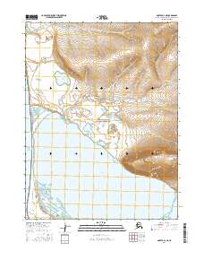
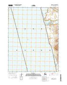
2016 Map of Noatak A-4 NE
USGS Topo · Published 2016About this map
Cape Krusenstern National Monument occupies this coastal stretch of Northwest Arctic Alaska, where the tundra meets the Chukchi Sea. The landscape is defined by the massive Krusenstern Lagoon and a series of beach ridges that have recorded millennia of human presence and environmental change. This 2016 survey illustrates the low-lying wetlands and complex hydrography surrounding Tulilik Lake and the meandering Evelukpalik River. To the north and east, the terrain rises toward significant landmarks such as Eigaloruk Mtn and Ingitkalik Mtn. The map documents the geographical relationship between the coastal Cape Krusenstern headland and the interior peaks, providing a high-resolution view of a region critical for studying Arctic coastal migration and subsistence patterns.
Find a feature on this map
12 named features on this map. Tap any name to fly to it.
Don’t see what you’re looking for? This feature index may not catch every label — zoom into the map to look around manually.
Map Details
Editions of this 2016 Noatak A-4 NE Map
This is the sole edition of this map. No revisions or reprints were ever made.
Other maps of this area

1951 · Noatak
USGS Topo · 1:250,000

1952 · Noatak A-3
USGS Topo · 1:63,360
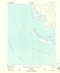
1952 · Noatak A-4
USGS Topo · 1:63,360

1955 · Noatak
USGS Topo · 1:250,000

1955 · Noatak B-3
USGS Topo · 1:63,360

1955 · Noatak B-4
USGS Topo · 1:63,360

1964 · Noatak
USGS Topo · 1:250,000
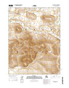
2014 · Noatak B-4 SE
USGS Topo · 1:25,000
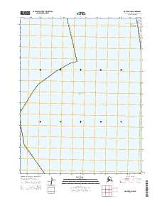
2014 · Noatak A-4 NW
USGS Topo · 1:25,000
2014 · Noatak B-4 SW
USGS Topo · 1:25,000