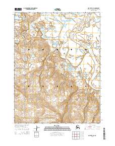
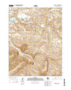
2015 Map of Noatak B-3 SE
USGS Topo · Published 2015About this map
Cape Krusenstern National Monument occupies the western portion of this landscape, where the coastal lowlands meet the rising inland topography of the Northwest Arctic Borough. The Noatak River dominates the eastern quadrant, its meandering course defined by braided channels and the prominent Sevisok Slough. This region exhibits a classic arctic riverine environment, where the shifting waters of the Noatak create a complex network of wetlands and gravel bars against the backdrop of the protected national monument lands. The map detail highlights the transition from the river's active floodplain to the more stable terrestrial boundaries established by the Public Land Survey System, including t22n r20w and t23n r20w.
Find a feature on this map
9 named features on this map. Tap any name to fly to it.
Don’t see what you’re looking for? This feature index may not catch every label — zoom into the map to look around manually.
Map Details
Editions of this 2015 Noatak B-3 SE Map
This is the sole edition of this map. No revisions or reprints were ever made.
Other maps of this area

1951 · Noatak
USGS Topo · 1:250,000

1952 · Noatak A-3
USGS Topo · 1:63,360

1955 · Noatak
USGS Topo · 1:250,000

1955 · Noatak B-3
USGS Topo · 1:63,360

1955 · Noatak B-2
USGS Topo · 1:63,360
1955 · Noatak A-2
USGS Topo · 1:63,360

1964 · Noatak
USGS Topo · 1:250,000
2015 · Noatak A-3 NE
USGS Topo · 1:25,000
2015 · Noatak A-3 NW
USGS Topo · 1:25,000
2015 · Noatak B-3 SW
USGS Topo · 1:25,000