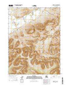
2015 Map of Noatak B-1 SW
USGS Topo · Published 2015About this map
Noatak National Preserve encompasses the heart of this landscape in the Northwest Arctic Borough, where high-latitude drainage systems define the topography. The Agashashok River flows across the northern reaches, while smaller tributaries like Hugo Cr and Knapp Cr carve through the southern sections. This 2015 study by the U.S. Geological Survey documents the unpopulated wilderness and public land survey boundaries, including t23n r17w and t22n r16w, during a period of modern mapping that utilized SPOT imagery and national elevation datasets. The map provides a precise record of the hydrological network and elevation contours within this protected Alaskan interior, illustrating the relationship between the major river valley and its surrounding high-country creeks.
Find a feature on this map
10 named features on this map. Tap any name to fly to it.
Don’t see what you’re looking for? This feature index may not catch every label — zoom into the map to look around manually.
Map Details
Editions of this 2015 Noatak B-1 SW Map
This is the sole edition of this map. No revisions or reprints were ever made.
Other maps of this area

1951 · Noatak
USGS Topo · 1:250,000

1955 · Noatak
USGS Topo · 1:250,000

1955 · Noatak B-2
USGS Topo · 1:63,360
1955 · Noatak A-1
USGS Topo · 1:63,360
1955 · Noatak A-2
USGS Topo · 1:63,360
1955 · Noatak B-1
USGS Topo · 1:63,360

1964 · Noatak
USGS Topo · 1:250,000
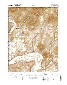
2015 · Noatak A-1 NW
USGS Topo · 1:25,000
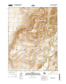
2015 · Noatak B-1 NW
USGS Topo · 1:25,000
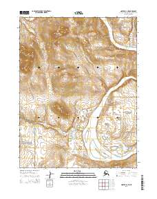
2015 · Noatak A-2 NE
USGS Topo · 1:25,000