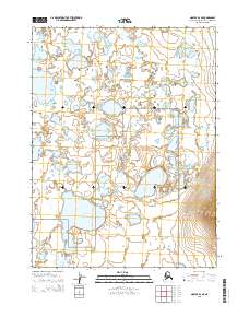
2015 Map of Noatak B-2 NE
USGS Topo · Published 2015About this map
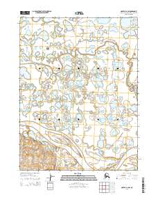
Noatak National Preserve encompasses the vast majority of this landscape, characterized by a complex network of wetlands and tundra in the Northwest Arctic Borough. The terrain is defined by an intricate pattern of small, unnamed lakes and ponds that dominate the northern and central sections, eventually giving way to the larger expanse of Aliktongnak Lake in the southwest. This area, documented in 2015, shows a landscape almost entirely devoid of modern infrastructure, preserving the natural drainage patterns and topographical contours of the Alaskan wilderness. The absence of roads or settlements underscores the remote character of this region within the preserve, where the Public Land Survey System grid lines for t24n r18w and t23n r18w provide the only structural overlay on the natural geography.
Find a feature on this map
6 named features on this map. Tap any name to fly to it.
Don’t see what you’re looking for? This feature index may not catch every label — zoom into the map to look around manually.
Map Details
Editions of this 2015 Noatak B-2 NE Map
This is the sole edition of this map. No revisions or reprints were ever made.
Other maps of this area

1951 · Noatak
USGS Topo · 1:250,000

1955 · Noatak
USGS Topo · 1:250,000

1955 · Noatak C-2
USGS Topo · 1:63,360

1955 · Noatak C-1
USGS Topo · 1:63,360

1955 · Noatak B-2
USGS Topo · 1:63,360
1955 · Noatak B-1
USGS Topo · 1:63,360

1964 · Noatak
USGS Topo · 1:250,000
2015 · Noatak C-1 SW
USGS Topo · 1:25,000
2015 · Noatak B-1 NW
USGS Topo · 1:25,000
2015 · Noatak B-2 SW
USGS Topo · 1:25,000