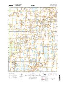
2015 Map of Noatak C-2 NE
USGS Topo · Published 2015About this map
Eli River meanders extensively through the heart of the Noatak National Preserve, creating a complex network of oxbow lakes and secondary channels across the Arctic tundra. This 2015 U.S. Geological Survey representation of the Northwest Arctic Borough reveals a landscape defined by low-relief wetlands and permafrost-shaped terrain, largely undisturbed by permanent infrastructure. The vast expanse of the preserve shown here illustrates the natural hydrological processes of a major river system in the far north, where the shifting Eli River course dictates the local geography. Researchers and geographers can trace the intricate water patterns and public land survey boundaries, including t27n r18w and t26n r17w, which mark this protected wilderness area.
Find a feature on this map
6 named features on this map. Tap any name to fly to it.
Don’t see what you’re looking for? This feature index may not catch every label — zoom into the map to look around manually.
Map Details
Editions of this 2015 Noatak C-2 NE Map
This is the sole edition of this map. No revisions or reprints were ever made.
Other maps of this area

1951 · Noatak
USGS Topo · 1:250,000

1955 · Noatak
USGS Topo · 1:250,000

1955 · Noatak D-1
USGS Topo · 1:63,360

1955 · Noatak D-2
USGS Topo · 1:63,360

1955 · Noatak C-2
USGS Topo · 1:63,360

1955 · Noatak C-1
USGS Topo · 1:63,360

1964 · Noatak
USGS Topo · 1:250,000
2015 · Noatak C-1 NW
USGS Topo · 1:25,000
2015 · Noatak C-1 SW
USGS Topo · 1:25,000
2015 · Noatak C-2 NW
USGS Topo · 1:25,000