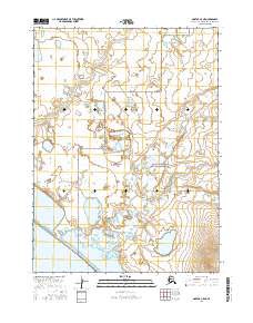
2016 Map of Noatak C-5 NE
USGS Topo · Published 2016About this map
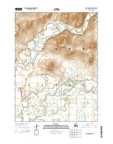
Cape Krusenstern National Monument dominates the southeastern portion of this coastal landscape, protecting a transition between low-lying tundra and the Chukchi Sea. The map documents a complex drainage network where the Omikviorok River and Imikruk Cr wind through marshy terrain toward the tidal influence of Imikruk Lagoon. This coastal environment is defined by its subtle elevation changes, most notably at Pingalurak Bluff, which provides a rare point of relief overlooking the lagoon waters. The inclusion of the shoreline feature known as Arthaaq reflects the localized naming of specific coastal points along this remote stretch of the Northwest Arctic borough. This survey captures the region as a largely undeveloped wilderness of wetlands and braided river channels, typical of the Arctic coastal plain before any significant modern infrastructure.
Find a feature on this map
10 named features on this map. Tap any name to fly to it.
Don’t see what you’re looking for? This feature index may not catch every label — zoom into the map to look around manually.
Map Details
Editions of this 2016 Noatak C-5 NE Map
This is the sole edition of this map. No revisions or reprints were ever made.
Other maps of this area

1951 · Noatak
USGS Topo · 1:250,000
1952 · Noatak C-5
USGS Topo · 1:63,360

1955 · Noatak
USGS Topo · 1:250,000

1955 · Noatak D-4
USGS Topo · 1:63,360

1955 · Noatak C-4
USGS Topo · 1:63,360
1955 · Noatak D-5
USGS Topo · 1:63,360

1964 · Noatak
USGS Topo · 1:250,000
2014 · Noatak D-4 SW
USGS Topo · 1:25,000
2014 · Noatak D-5 SW
USGS Topo · 1:25,000
2014 · Noatak D-5 SE
USGS Topo · 1:25,000