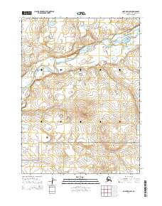
2014 Map of Noatak D-4 SW
USGS Topo · Published 2014About this map
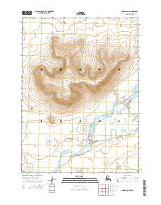
Cape Krusenstern National Monument occupies the southern portion of this Arctic landscape, marking a protected region where the coastal plain meets rising interior terrain. The Wulik River serpentines across the northern half of the sheet, characterized by a complex network of braids and oxbows typical of high-latitude drainage systems. This 2014 survey documents the hydrography and elevation of a remote territory in the Northwest Arctic Borough, where the Kinguaglik Ikpik joins the broader river valley. The topography is defined by significant landmarks such as Akurak Bluff, which overlooks the low-lying wetlands and seasonal watercourses like Imikruk Cr. The map provides a detailed record of the Public Land Survey System (PLSS) divisions, illustrating the township and range grid that overlays this largely untouched natural environment.
Find a feature on this map
11 named features on this map. Tap any name to fly to it.
Don’t see what you’re looking for? This feature index may not catch every label — zoom into the map to look around manually.
Map Details
Editions of this 2014 Noatak D-4 SW Map
This is the sole edition of this map. No revisions or reprints were ever made.
Other maps of this area

1951 · Noatak
USGS Topo · 1:250,000
1952 · Noatak C-5
USGS Topo · 1:63,360

1955 · Noatak
USGS Topo · 1:250,000

1955 · Noatak D-4
USGS Topo · 1:63,360

1955 · Noatak C-4
USGS Topo · 1:63,360
1955 · Noatak D-5
USGS Topo · 1:63,360

1964 · Noatak
USGS Topo · 1:250,000
2014 · Noatak D-4 SE
USGS Topo · 1:25,000
2014 · Noatak D-4 NE
USGS Topo · 1:25,000
2014 · Noatak D-5 NE
USGS Topo · 1:25,000