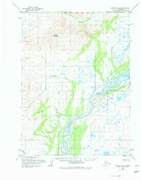
1955 Map of Noatak D-2
USGS Topo · Published 1978About this map
The Noatak River meanders through this Arctic landscape, defining a wide, braided valley floor between the Mulgrave Hills to the southwest and the high elevations of Sivukat Mountain to the north. Surveyed in the mid-1950s using aerial photography from 1952, the map documents a region almost entirely devoid of permanent infrastructure, save for a solitary Cabin located near the riverbank. This lack of development highlights the seasonal and subsistence nature of the land use in this period.
Find a feature on this map
11 named features on this map. Tap any name to fly to it.
Don’t see what you’re looking for? This feature index may not catch every label — zoom into the map to look around manually.
Map Details
Editions of this 1955 Noatak D-2 Map
2 editions found
Other maps of this area

1951 · De Long Mountains
USGS Topo · 1:250,000

1951 · Noatak
USGS Topo · 1:250,000

1955 · Noatak
USGS Topo · 1:250,000

1955 · De Long Mountains
USGS Topo · 1:250,000

1955 · Noatak D-1
USGS Topo · 1:63,360

1955 · Noatak D-3
USGS Topo · 1:63,360

1955 · Noatak D-2
USGS Topo · 1:63,360

1955 · De Long Mountains A-1
USGS Topo · 1:63,360

1955 · De Long Mountains A-2
USGS Topo · 1:63,360

1955 · Noatak C-2
USGS Topo · 1:63,360