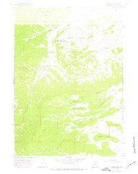
1967 Map of Noble Basin
USGS Topo · Published 1970About this map
Noble Basin serves as a central landmark in this high-altitude landscape of western Wyoming, where the headwaters of the Hoback River and several of its tributaries carve through deep valley systems. The presence of the Dead Shot Ranch and its adjacent Landing Strip near the riverbank illustrates the remote, self-sufficient nature of ranching in the Teton National Forest during the mid-1960s.
Find a feature on this map
23 named features on this map. Tap any name to fly to it.
Don’t see what you’re looking for? This feature index may not catch every label — zoom into the map to look around manually.
Map Details
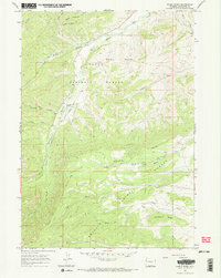
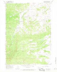
Editions of this 1967 Noble Basin Map
3 editions found
Other maps of this area

1907 · Gros Ventre
USGS Topo · 1:125,000

1910 · Gros Ventre
USGS Topo · 1:125,000

1921 · Afton
USGS Topo · 1:125,000

1931 · Jackson
USGS Topo · 1:125,000

1935 · Jackson
USGS Topo · 1:125,000

1939 · Big Piney
USGS Topo · 1:125,000

1942 · Big Piney
USGS Topo · 1:125,000

1955 · Driggs
USGS Topo · 1:250,000

1955 · Preston
USGS Topo · 1:250,000

1958 · Driggs
USGS Topo · 1:250,000