
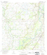
1956 Map of Nocatee
USGS Topo · Published 1957About this map
The Peace River meanders through the heart of this DeSoto County landscape, defining the character of the citrus and cattle country surrounding Nocatee and the southern outskirts of Arcadia. During the mid-1950s, the region was a significant rail corridor where the Seaboard Air Line Railroad and Atlantic Coast Line Railroad intersected near the town centers. An Old Railroad Grade in the north suggests earlier timber or phosphate transport routes that had already shifted by this era. Local community life is anchored by landmarks such as Mt Eben Ch and Owens Cem, while the hydrology is marked by numerous water bodies including Bee Gum Lake, Johnson Lake, and Grass Lake. The convergence of Horse Creek and Joshua Creek with the main river channel illustrates the complex drainage system of this Florida interior.
Find a feature on this map
14 named features on this map. Tap any name to fly to it.
Don’t see what you’re looking for? This feature index may not catch every label — zoom into the map to look around manually.
Map Details
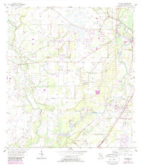
Editions of this 1956 Nocatee Map
3 editions found
Other maps of this area

1956 · Gardner
USGS Topo · 1:24,000

1956 · Arcadia SE
USGS Topo · 1:24,000

1956 · Edgeville
USGS Topo · 1:24,000

1956 · Murdock SE
USGS Topo · 1:24,000

1956 · Murdock NE
USGS Topo · 1:24,000

1956 · Limestone
USGS Topo · 1:24,000

1956 · Ft. Ogden
USGS Topo · 1:24,000

1956 · Tampa
USGS Topo · 1:250,000

1956 · Fort Pierce
USGS Topo · 1:250,000

1957 · Arcadia
USGS Topo · 1:24,000