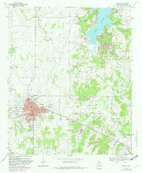
1968 Map of Nocona
USGS Topo · Published 1982About this map
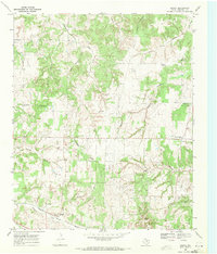
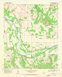
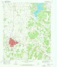
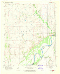
The town of Nocona serves as the focal point of this North Texas survey, characterized by its grid of streets and municipal landmarks like the South Ward School, Hospital, and Nocona Airport. To the east, the landscape transitions into the rolling hills and creek beds that feed into the expansive Nocona Lake, where several local family cemeteries such as Keck Cem and Eagle Point Cem are preserved along the shoreline. The era's infrastructure is clearly marked by the presence of an Old Railroad Grade and a network of pipelines and an Aqueduct cutting through the terrain. From the heights of Blue Mound and Benton Hill, the map reveals a rural economy shifting between traditional ranching and newer developments, with numerous oil wells and pits dotted across the countryside between Panther Creek and Farmers Creek.
Find a feature on this map
41 named features on this map. Tap any name to fly to it.
Don’t see what you’re looking for? This feature index may not catch every label — zoom into the map to look around manually.
Map Details
Editions of this 1968 Nocona Map
2 editions found
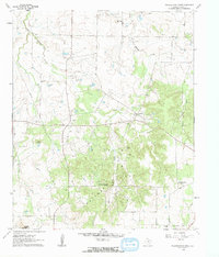
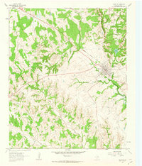
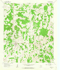
Other maps of this area

1905 · Montague
USGS Topo · 1:125,000

1954 · Sherman
USGS Topo · 1:250,000

1958 · Sherman
USGS Topo · 1:250,000
1960 · Buzzard Roost Knob
USGS Topo · 1:24,000
1961 · Saint Jo
USGS Topo · 1:24,000
1961 · Montague
USGS Topo · 1:24,000
1968 · Bonita
USGS Topo · 1:24,000
1968 · Spanish Fort
USGS Topo · 1:24,000
1968 · Nocona
USGS Topo · 1:24,000
1968 · Fleetwood
USGS Topo · 1:24,000