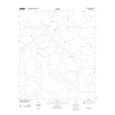
2012 Map of Noelke NE
USGS Topo · Published 2012About this map
Seven Springs provides a critical water source in this arid stretch of Irion County, feeding into the drainage of Spring Cr. The landscape is defined by the practical infrastructure of West Texas ranching, where the distribution of water is managed through a network of isolated landmarks such as North Windmill, West Windmill, and Flat Rock Windmill. These features, along with the deep relief of Rock Pen Draw, illustrate the challenges of land use in a region where surface water is scarce and topographical features often dictate the path of local transit.
Find a feature on this map
19 named features on this map. Tap any name to fly to it.
Don’t see what you’re looking for? This feature index may not catch every label — zoom into the map to look around manually.
Map Details
Editions of this 2012 Noelke NE Map
This is the sole edition of this map. No revisions or reprints were ever made.
Other maps of this area

1895 · Sherwood
USGS Topo · 1:125,000

1928 · Tankersly
USGS Topo · 1:62,500

1954 · San Angelo
USGS Topo · 1:250,000

1957 · Knickerbocker
USGS Topo · 1:62,500

1958 · San Angelo
USGS Topo · 1:250,000

1965 · San Angelo
USGS Topo · 1:250,000

1971 · Noelke
USGS Topo · 1:24,000
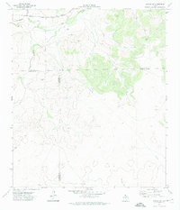
1971 · Noelke SW
USGS Topo · 1:24,000
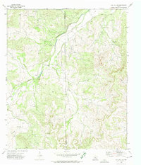
1972 · Hulldale NW
USGS Topo · 1:24,000
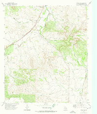
1972 · Noelke NE
USGS Topo · 1:24,000