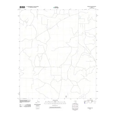
2010 Map of Noelke SE
USGS Topo · Published 2010About this map
Dove Creek and its associated Dove Creek Draw carve a path through this portion of Schleicher County, defining the drainage patterns of the Texas ranching country. The landscape is marked by a network of rural roads and private tracks that trace the boundaries of large landholdings. Notable routes include FM 915 and several locally named passages such as Meltzon and the curiously named Bootleggers Ln. Produced using 2008 imagery, this map reflects the modern spatial organization of the region, where infrastructure like Co Rd 115 and Co Rd 427 provides essential access to the remote interior sections of the Edwards Plateau. The sparse distribution of named features underscores the rural character of this West Texas terrain.
Find a feature on this map
9 named features on this map. Tap any name to fly to it.
Don’t see what you’re looking for? This feature index may not catch every label — zoom into the map to look around manually.
Map Details
Editions of this 2010 Noelke SE Map
This is the sole edition of this map. No revisions or reprints were ever made.
Other maps of this area

1895 · Sherwood
USGS Topo · 1:125,000

1954 · Sonora
USGS Topo · 1:250,000

1954 · San Angelo
USGS Topo · 1:250,000

1958 · Sonora
USGS Topo · 1:250,000

1958 · San Angelo
USGS Topo · 1:250,000

1964 · Eldorado NW
USGS Topo · 1:24,000

1964 · Oglesby Ranch
USGS Topo · 1:24,000

1964 · Moore Ranch
USGS Topo · 1:24,000

1965 · San Angelo
USGS Topo · 1:250,000

1971 · Noelke
USGS Topo · 1:24,000