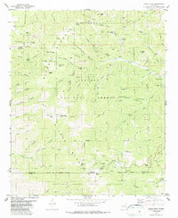
1982 Map of Nogal Peak
USGS Topo · Published 1987About this map
White Mountain Wilderness and the Lincoln National Forest dominate this landscape, revealing a rugged intersection of recreational development and historical mining activity in the early 1980s. The southern reaches are defined by the Sierra Blanca Ski Area, featuring the Apache Bowl and numerous ski lifts near Lookout Mountain. This high-altitude terrain transitions north through the Sierra Blanca range, where water sources like Turkey Spring and Argentina Spr supported earlier mountain travelers.
Find a feature on this map
90 named features on this map. Tap any name to fly to it.
Don’t see what you’re looking for? This feature index may not catch every label — zoom into the map to look around manually.
Map Details
Editions of this 1982 Nogal Peak Map
2 editions found
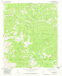
Other maps of this area

1934 · Capitan
USGS Topo · 1:48,000

1937 · Capitan
USGS Topo · 1:62,500

1938 · Carrizozo
USGS Topo · 1:48,000

1943 · Carrizozo
USGS Topo · 1:62,500

1950 · Carrizozo
USGS Topo · 1:62,500

1950 · Sierra Blanca Peak
USGS Topo · 1:62,500

1955 · Roswell
USGS Topo · 1:250,000

1958 · Roswell
USGS Topo · 1:250,000

1962 · Roswell
USGS Topo · 1:250,000

1963 · Ruidoso
USGS Topo · 1:24,000