
1905 Map of Nogales
USGS Topo · Published 1905About this map
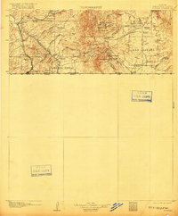
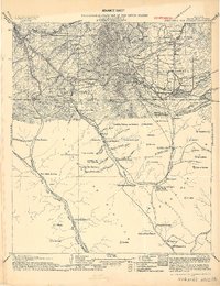
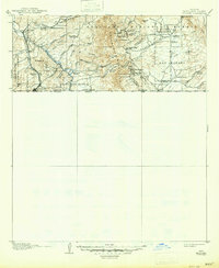
The Arizona Sonora United States Mexico Boundary Line defines the southern edge of this landscape, where the international border meets the burgeoning settlement of Nogales. Following the path of the Southern Pacific RR (Nogales Branch) and the Santa Cruz River, the map documents a region driven by high-altitude mining and ranching at the turn of the century. The Patagonia Mountains are dotted with industrial operations including The Mowry Mine, Golden Rose Mine, and the Holland Mine, supporting nearby communities like Duquesne and Washington. To the east, the vast grant of San Rafael provides a contrast with its open terrain, scattered with family outposts such as Cameron's Ranch and Martin's Ranch near the border settlement of Lochiel.
Find a feature on this map
61 named features on this map. Tap any name to fly to it.
Don’t see what you’re looking for? This feature index may not catch every label — zoom into the map to look around manually.
Map Details
Editions of this 1905 Nogales Map
4 editions found
Other maps of this area

1904 · Patagonia
USGS Topo · 1:125,000

1905 · Patagonia
USGS Topo · 1:125,000

1914 · Hereford
USGS Topo · 1:125,000

1915 · Benson
USGS Topo · 1:125,000

1920 · Arivaca
USGS Topo · 1:125,000

1921 · Old Glory
USGS Topo · 1:125,000

1922 · Agus Caliente
USGS Topo · 1:62,500

1922 · Sunnyside
USGS Topo · 1:62,500

1932 · Lochiel
USGS Topo · 1:62,500

1932 · Elgin
USGS Topo · 1:62,500