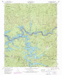
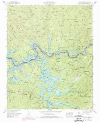
1961 Map of Noland Creek
USGS Topo · Published 1989About this map
Fontana Lake dominates this landscape where the Tuckasegee River and Little Tennessee River converge, showing the deep-water fingers reaching into the surrounding mountain ridges. Much of the northern terrain is preserved within the Great Smoky Mountains National Park, while the southern reaches are managed as Nantahala National Forest and Nantahala Game Lands. The map records the remnants of upland life through several family burial sites such as McClure Cem and Woody Cem, alongside the Mt Zion Ch. The rugged topography is defined by prominent peaks and gaps, including Pilot Knob, Potato Hill, and Chambers Creek Gap, documenting the intricate network of ridges and coves that shaped local settlement and access before and after the creation of the reservoir.
Find a feature on this map
56 named features on this map. Tap any name to fly to it.
Don’t see what you’re looking for? This feature index may not catch every label — zoom into the map to look around manually.
Map Details
Editions of this 1961 Noland Creek Map
5 editions found
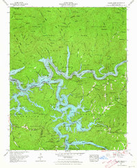
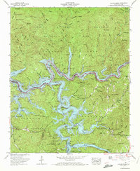
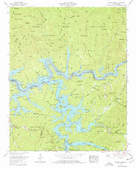
Other maps of this area

1886 · Knoxville
USGS Topo · 1:125,000

1891 · Cowee
USGS Topo · 1:125,000

1892 · Knoxville
USGS Topo · 1:125,000

1893 · Mt Guyot
USGS Topo · 1:125,000

1894 · Knoxville
USGS Topo · 1:125,000

1895 · Knoxville
USGS Topo · 1:125,000

1897 · Cowee
USGS Topo · 1:125,000

1901 · Knoxville
USGS Topo · 1:125,000

1907 · Cowee
USGS Topo · 1:125,000

1912 · Mt Guyot
USGS Topo · 1:125,000