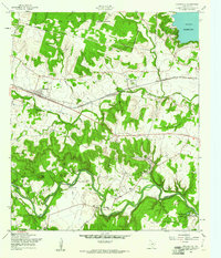
1958 Map of Nolanville
USGS Topo · Published 1961About this map
Nolanville serves as a central point in this Central Texas landscape, situated along the Gulf Colorado and Santa Fe (AT & SF) railroad line. To the north, the Fort Hood Military Reservation occupies a significant portion of the terrain, while the northeastern corner shows the developing shoreline of the Belton Reservoir near West Cliff. The southern portion of the map is defined by the winding course of the Lampasas River, where recreational sites like Camp Tahuaya and Lake Boyd Cotton are located.
Find a feature on this map
28 named features on this map. Tap any name to fly to it.
Don’t see what you’re looking for? This feature index may not catch every label — zoom into the map to look around manually.
Map Details
Editions of this 1958 Nolanville Map
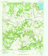
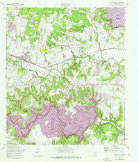
3 editions found
Other maps of this area

1885 · Taylor
USGS Topo · 1:125,000

1887 · Taylor
USGS Topo · 1:125,000

1892 · Temple
USGS Topo · 1:125,000

1893 · Georgetown
USGS Topo · 1:125,000

1894 · Gatesville
USGS Topo · 1:125,000

1894 · Taylor
USGS Topo · 1:125,000

1924 · Gatesville 4-d
USGS Topo · 1:48,000

1924 · Gatesville 4-a
USGS Topo · 1:48,000

1924 · Temple 3-C
USGS Topo · 1:48,000

1924 · Temple 3-B
USGS Topo · 1:48,000