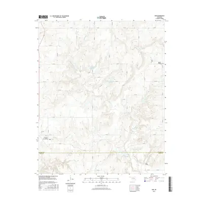
2016 Map of Non
USGS Topo · Published 2016About this map
Non and the surrounding rangeland of southern Hughes County are defined by a complex network of creeks and drainage basins. This landscape is shaped by the headwaters of several notable watercourses, including Caney Boggy Cr, Salt Cr, and Rock Cr, which carve through the terrain. The integration of modern infrastructure with the rural environment is evident in the Upper Muddy Boggy Site Number 24 Reservoir and Upper Muddy Boggy Site Number 25 Reservoir, part of a regional watershed management system.
Find a feature on this map
34 named features on this map. Tap any name to fly to it.
Don’t see what you’re looking for? This feature index may not catch every label — zoom into the map to look around manually.
Map Details
Editions of this 2016 Non Map
This is the sole edition of this map. No revisions or reprints were ever made.
Other maps of this area
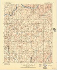
1896 · Coalgate
USGS Topo · 1:125,000
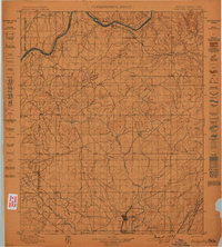
1899 · Coalgate
USGS Topo · 1:125,000
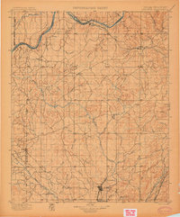
1900 · Coalgate
USGS Topo · 1:125,000
1957 · Tupelo NE
USGS Topo · 1:24,000
1957 · Ardmore
USGS Topo · 1:250,000
1963 · Ardmore
USGS Topo · 1:250,000
1967 · Wardville
USGS Topo · 1:24,000
1967 · Calvin East
USGS Topo · 1:24,000
1967 · Ashland
USGS Topo · 1:24,000
1967 · Non
USGS Topo · 1:24,000