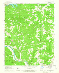
1964 Map of Norfork Dam South
USGS Topo · Published 1965About this map
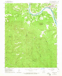
Norfork Dam anchors the northwest corner of this mid-century survey, holding back the waters of Norfork Lake at the confluence of the North Fork and Otter Creek. The landscape transitions from the controlled inundation areas of the reservoir to the winding course of the White River in the south, which defines the boundary of the Ozark National Forest. This river valley is a hub of historic activity, where the Missouri Pacific railroad tracks parallel the water, passing by the settlement of Old Joe and continuing toward the riverside town of Calico Rock. Away from the main waterways, the ridge country is dotted with family-named hollows and isolated landmarks like Naked Joe Knob. Local genealogy is well-represented through numerous upland burial sites, including Wayland Arbor Cem and Moody Cem, alongside rural congregations like Hall Chapel and Galatia Ch.
Find a feature on this map
48 named features on this map. Tap any name to fly to it.
Don’t see what you’re looking for? This feature index may not catch every label — zoom into the map to look around manually.
Map Details
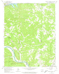
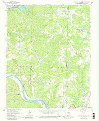
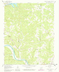
Editions of this 1964 Norfork Dam South Map
4 editions found
Other maps of this area

1890 · Mountain Home
USGS Topo · 1:125,000

1891 · Mountain Home
USGS Topo · 1:125,000

1894 · Mountain Home
USGS Topo · 1:125,000

1945 · Harrison
USGS Topo · 1:250,000

1949 · Harrison
USGS Topo · 1:250,000

1954 · Harrison
USGS Topo · 1:250,000

1958 · Harrison
USGS Topo · 1:250,000

1964 · Harrison
USGS Topo · 1:250,000
1964 · Calico Rock
USGS Topo · 1:24,000
1964 · Pineville
USGS Topo · 1:24,000