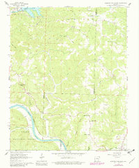
1964 Map of Norfork Dam South
USGS Topo · Published 1982About this map
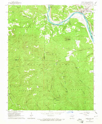
White River navigation and the rugged hills of the Ozark National Forest dominate this landscape, where the Missouri Pacific railroad snakes along the riverbank. The area is defined by its deep hollows and high points like Naked Joe Knob, while the northern edge is anchored by the engineering of the Norfork Dam on the North Fork. The map shows a rural Ozark community organized around small creek drainages, such as Otter Creek and Moccasin Creek.
Find a feature on this map
42 named features on this map. Tap any name to fly to it.
Don’t see what you’re looking for? This feature index may not catch every label — zoom into the map to look around manually.
Map Details
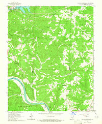
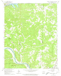
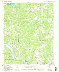
Editions of this 1964 Norfork Dam South Map
4 editions found
Other maps of this area

1890 · Mountain Home
USGS Topo · 1:125,000

1891 · Mountain Home
USGS Topo · 1:125,000

1894 · Mountain Home
USGS Topo · 1:125,000

1945 · Harrison
USGS Topo · 1:250,000

1949 · Harrison
USGS Topo · 1:250,000

1954 · Harrison
USGS Topo · 1:250,000

1958 · Harrison
USGS Topo · 1:250,000

1964 · Harrison
USGS Topo · 1:250,000
1964 · Calico Rock
USGS Topo · 1:24,000
1964 · Pineville
USGS Topo · 1:24,000