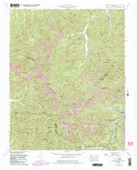
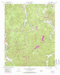
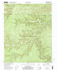
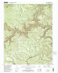
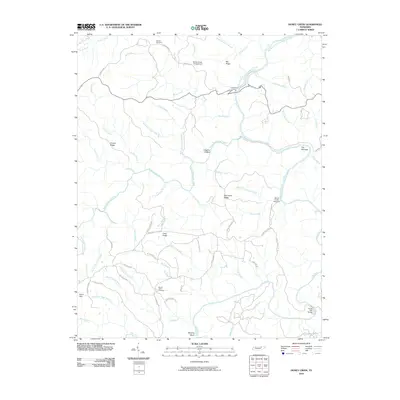
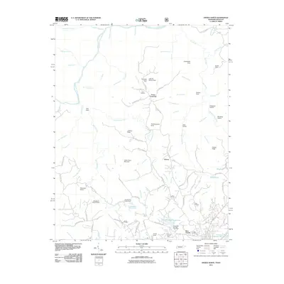
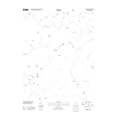
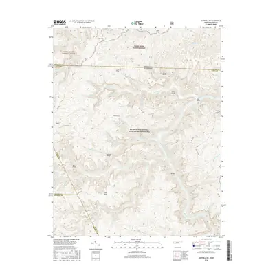
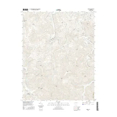
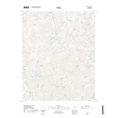
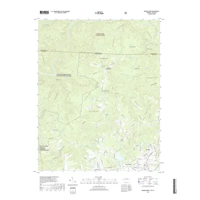
1954 Map of Norma
USGS Topo · Published 1970About this map
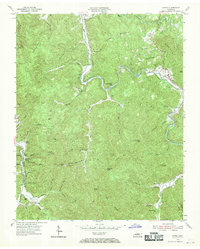
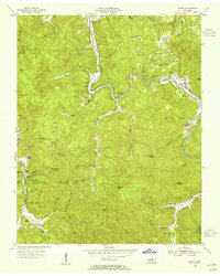
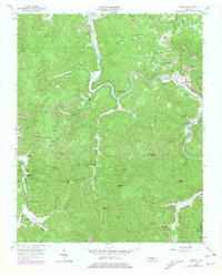
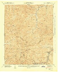
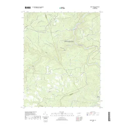
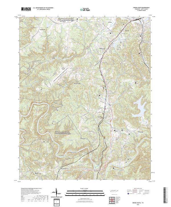
The Tennessee Railroad dictates the movement and settlement of this Cumberland Plateau landscape, following the winding course of the New River and Brimstone Creek. Remote sidings and small communities such as Norma, Winona, and Bull Creek Station serve as the primary human hubs amid a terrain of steep ridges and deep hollows. The presence of several family burial grounds, including the Rector Cemetery and Phillip Cemetery, alongside landmarks like Mill Branch Church and Smoky Creek School, points to a tight-knit rural society deeply rooted in the mountain geography.
Find a feature on this map
76 named features on this map. Tap any name to fly to it.
Don’t see what you’re looking for? This feature index may not catch every label — zoom into the map to look around manually.
Map Details
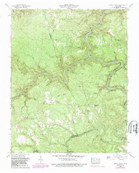
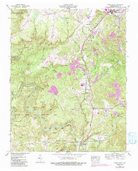
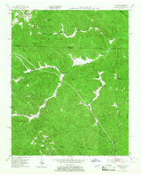
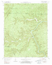
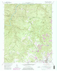
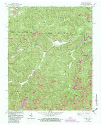
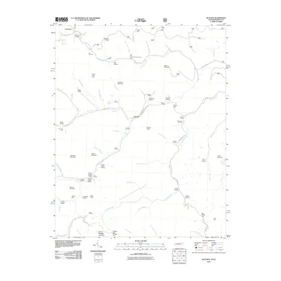
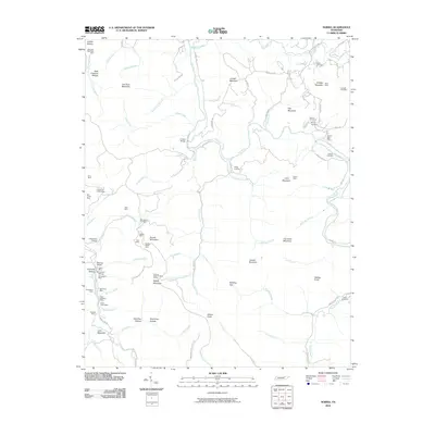
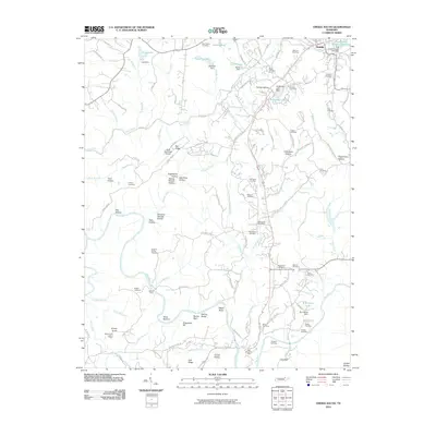
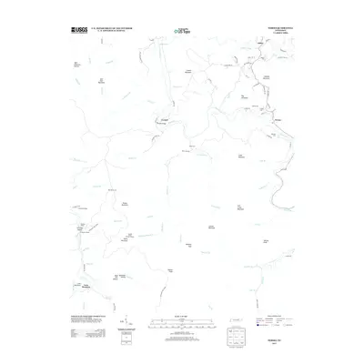
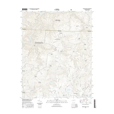
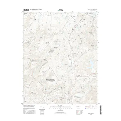
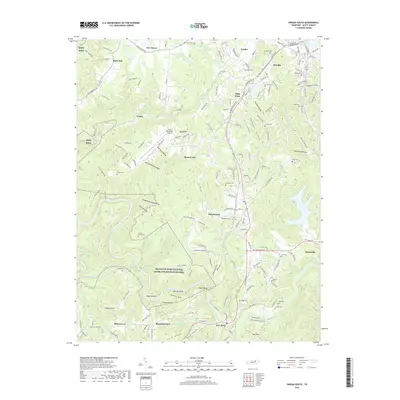
Editions of this 1954 Norma Map
4 editions found
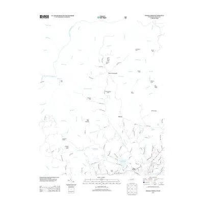
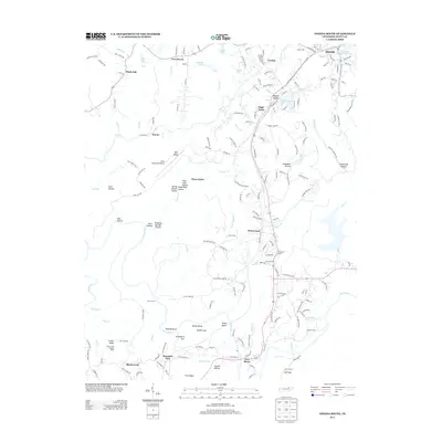
Historical Maps of Norma Through Time
49 maps found

1935 Mages
Scott County, TN

1935 Moggasin
Scott County, TN

1936 Hogbell Gap
Scott County, TN
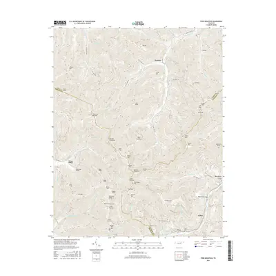
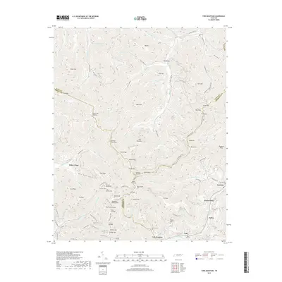
1946 Fork Mountain
Scott County, TN
1952 Fork Mountain
Scott County, TN
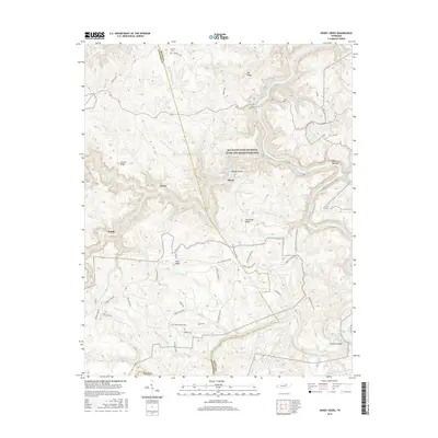
1952 Honey Creek
Scott County, TN
1952 Oneida South
Scott County, TN
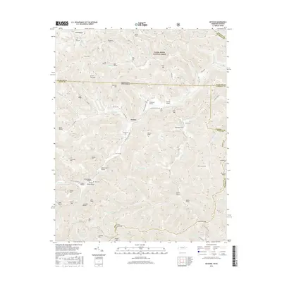
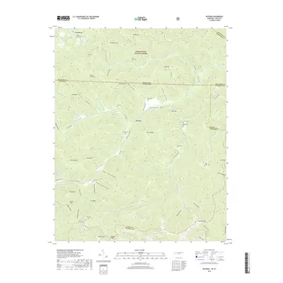
1953 Ketchen
Scott County, TN
1954 Norma
Scott County, TN
1955 Barthell SW
Scott County, TN
1955 Oneida North
Scott County, TN
1980 Ketchen
Scott County, TN
2000 Barthell SW
Scott County, TN
2000 Honey Creek
Scott County, TN
2010 Barthell SW
Scott County, TN
2010 Fork Mountain
Scott County, TN
2010 Honey Creek
Scott County, TN
2010 Ketchen
Scott County, TN
2010 Norma
Scott County, TN
2010 Oneida South
Scott County, TN
2011 Oneida North
Scott County, TN
2013 Barthell SW
Scott County, TN
2013 Fork Mountain
Scott County, TN
2013 Honey Creek
Scott County, TN
2013 Ketchen
Scott County, TN
2013 Norma
Scott County, TN
2013 Oneida North
Scott County, TN
2013 Oneida South
Scott County, TN
2016 Barthell SW
Scott County, TN
2016 Fork Mountain
Scott County, TN
2016 Honey Creek
Scott County, TN
2016 Ketchen
Scott County, TN
2016 Norma
Scott County, TN
2016 Oneida North
Scott County, TN
2016 Oneida South
Scott County, TN
2019 Barthell SW
Scott County, TN
2019 Fork Mountain
Scott County, TN
2019 Honey Creek
Scott County, TN
2019 Ketchen
Scott County, TN
2019 Norma
Scott County, TN
2019 Oneida North
Scott County, TN
2019 Oneida South
Scott County, TN
2022 Barthell SW
Scott County, TN
2022 Fork Mountain
Scott County, TN
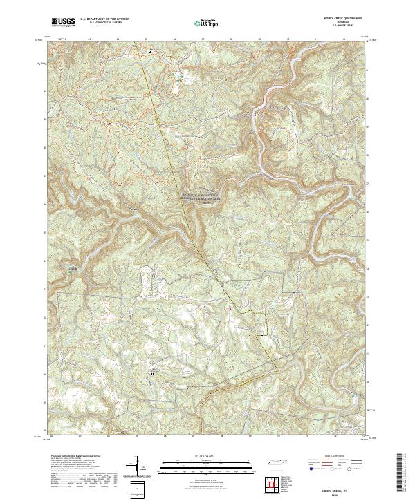
2022 Honey Creek
Scott County, TN
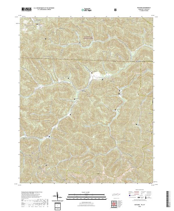
2022 Ketchen
Scott County, TN
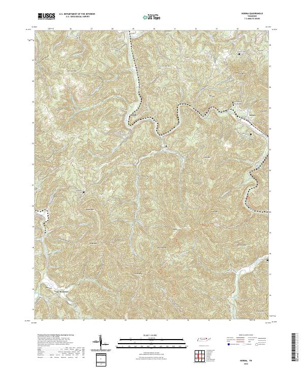
2022 Norma
Scott County, TN
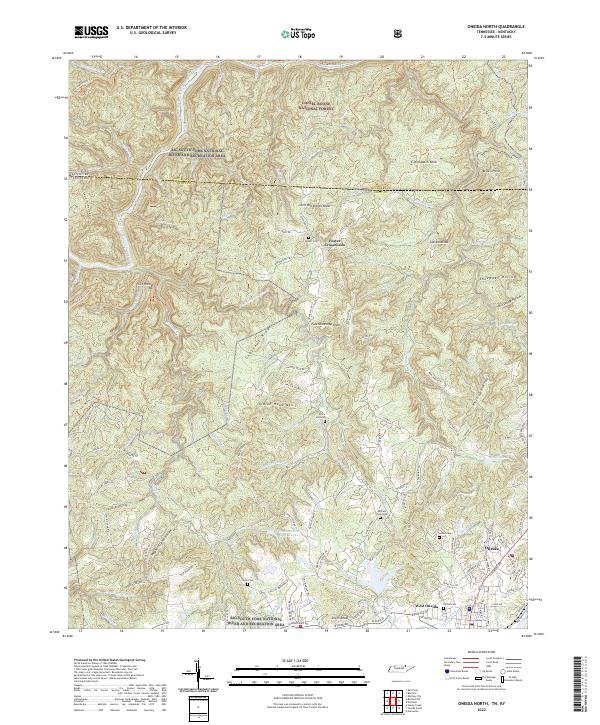
2022 Oneida North
Scott County, TN
2022 Oneida South
Scott County, TN